WINTER WEATHER UPDATE: Sunday November 16, 2014 9:45 PM CST
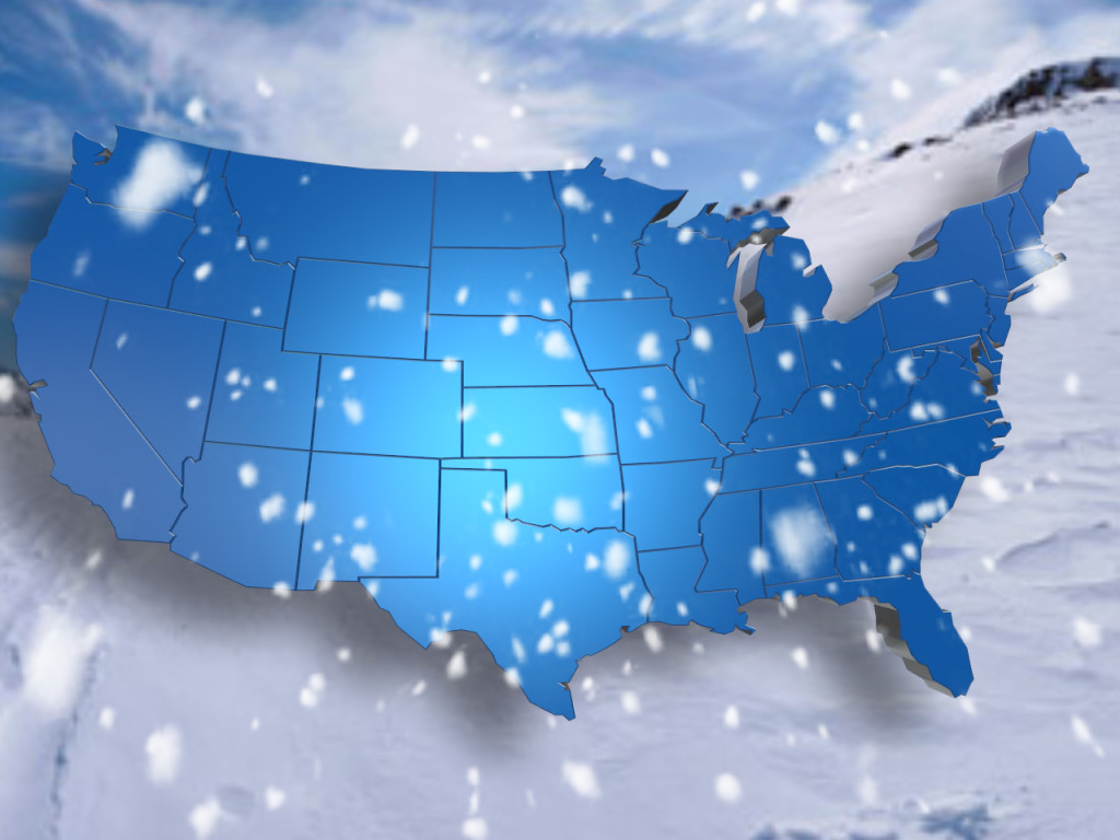
Current Weather Alerts: Winter Weather Advisory has been posted for portions of northwest Tennessee(Lake & Obion Counties) and southeast Missouri (Pemiscot & Dunklin Counties) starting at 6 PM this evening all the way through 6 AM Monday. Snowfall accumulations within this area will be on the order of 1 to 2″ with locally heavier amounts along the Kentucky/Tennessee line. Additional Winter Weather Advisories have been put in place for Benton, Carroll, Crockett, Dyer, Gibson, Henry, & Weakley Counties starting at midnight tonight through 6 AM Monday. Snowfall accumulations in this advisory are will be on the order of a dusting to 1″. Current conditions right now on the radar shows a line of wintry weather moving into northwest Tennessee and the Bootheel of Missouri. Sleet is falling on the moderate side across portions of Lake County around Tiptonville and Reelfoot Lake. Heavy sleet though now mixing with snow is occurring across the southern extent of the Bootheel of Missouri back toward Poplar Bluff. Consistent reports are already showing slick spots on the I-55 Corridor through the southern extent of the junction between Caruthersville and Hayti Missouri. Temperatures continue to fall over the area with readings now nearing the freezing mark in Caruthersville, Union City, Trenton, and Dyersburg. Everyone else primarily in the mid to upper 30s with low to mid 40s the farther south and east you go. These areas look to be all rain with some sleet by daybreak Monday. All in all slick spots cannot be ruled out. Accumulations at this time are shaping up like this. From Martin points through Union City and Tiptonville expect amounts on the order of 1-2 inches. Roads will be pretty dangerous in these areas especially if they are not treated. This includes Interstate 69, HWY 412, HWY 45E, HWY 45W, and Interstate 55. Be mindful o TDOT crews salting and maybe even plowing those secondary roads overnight tonight. The farther south we go in places such as Dyersburg, Trenton, Milan, Huntingdon, McKenzie, Paris, Camden, Humboldt, Bells, Friendship, and even Medina expect amounts o the order of a dusting to at most 1″. Accumulations will most likely be once again on elevated and untreated surfaces so slow down and be mindful. Everywhere along the I-40 corridor looks to pick up at most a dusting of snow. The farther south you go though it looks like precipitation should remain as rain as it will take longer to get the cold air into those areas. Once again overnight tonight watch for rain and sleet changing quickly over to snow. Be mindful of road conditions especially on bridges and overpasses, allow extra distance behind road crews, and if you don’t have to get out just stay inside as things will quickly improve later on tomorrow morning. All precipitation is out of here by 9 AM or soon after that tomorrow morning. We will deal with the “Siberian Express” and bitter winds after that so dress accordingly. Gradual clearing and bitter west northwest winds take over for Monday. We will have flurries and snow showers to start in the Tennessee River Valley with highs struggling to make the freezing point. Wind chills will be in the teens and 20s so dress warmly with lots of extra layers. Monday night and Tuesday look to be the worst of the cold so far this season. Many areas will dip to near single digits Monday night challenging some old records of years past. Wind chills will also be pretty dangerous possibly going below zero the farther north you go. Stay tuned for further details on that as more information becomes available. We will keep you up to date for the remainder of the evening into the overnight hours on this first real winter blast of the season. Don’t forget to send us your viewer photos of the snow in your neighborhood. You can send them to news@wbbjtv.com or any of our social media webpages. Just remember to take them when it is safe to do so. Allow extra time for your early morning commute and beware of road crews salting the roads. Allow extra room between you and their trucks so they can keep the roads safe. Stay alert this evening and enjoy the snow! Erik Taylor- StormTeam 7 Meteorologist, Twitter – @wbbj7erik Facebook – Erik Taylor WBBJ etaylor@wbbjtv.com