Snow and Ice Early Wednesday
[gtxvideo vid=”d8uwfvSN” playlist=”” pid=”wMQlYtLM” thumb=”http://player.gtxcel.com/thumbs/d8uwfvSN-120.jpg?cachebust=1453251889886″ vtitle=”Weathercast 6pm.flv”]
Weather Update – 8:25 p.m. Tuesday
Freezing rain and sleet have already been reported in northwest Tennessee. We’ll expect to see more of this in the hours to come with the best chance for accumulating snow in parts of West Tennessee near the Tennessee-Kentucky border. Points south of that line will predominantly see ice and rain with areas south of Jackson mostly dealing with a cold rain.
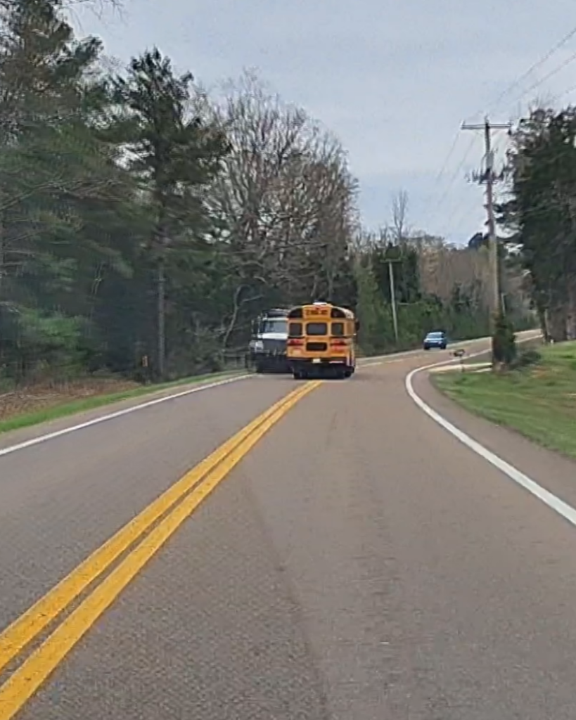
Tonight, skies will remain cloudy with temperatures slowly warming up. We should be back in the 30s just after midnight. A snow and sleet mix will be taking over much of West Tennessee between 4 and 6am. All things considered, travel could be difficult tomorrow, but not impossible.
After noon, above freezing temperatures will lead to any accumulations of snow and ice to start melting. Temperatures will reach the mid to upper 30s and low 40s at the warmest point of the day. We’ll get a brief break from the wintry mix before rain returns on Thursday afternoon and evening before changing to all snow on Friday morning. It’s possible that we once again have accumulation, and possible more school closures.
Stay with the VIPIR 7 Storm Team for the latest updates to the forecast.
Tom Meiners
Storm Team 7 Chief Meteorologist, CBM
Twitter – @WBBJ7TomMeiners
Facebook – facebook.com/WBBJ.tom.meiners
Email – tmeiners@wbbjtv.com


