Daily Chance for Scattered Thunderstorms Through the Weekend
Weather Update – 11:30 p.m. – Thursday, June 25th
Dew point have already begun to rise in West Tennessee, and the hot and humid weather will continue to return over the weekend bringing the heat index close to the triple digits on Sunday. Hazy skies are ahead too with dust forecast to arrive tonight and continue from tomorrow into the weekend. The dust is forecast to be most dense over the region from Friday evening through Saturday morning.

TONIGHT
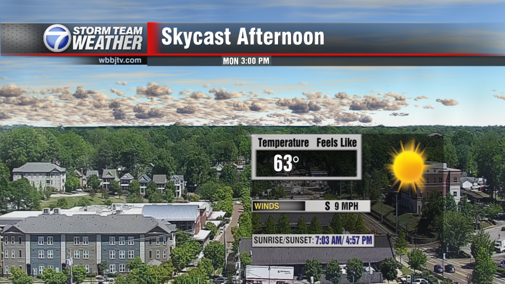
Mostly clear skies will continue tonight across West Tennessee with calm winds and patchy fog by sunrise. Temperatures will be warmer, only dropping to the upper 60s at the coolest point of the night.

Scattered showers and thunderstorms are expected on Friday. Not everyone may get rain, but those that do could encounter heavy showers and frequent lightning so stay weather aware! Temperatures will peak in the upper 80s tomorrow afternoon with a heat index in the lower to middle 90s under hazy skies from incoming dust. The air quality index is forecast to be moderate in Jackson which is acceptable for most people. However, there may be a risk for some people, particularly those who are unusually sensitive to air pollution and that have respiratory conditions, and they should limit their time outdoors for the next couple of days. Stay with WBBJ 7 Eyewitness News for the latest forecast and keep up with Storm Team Weather online too for more updates.
Tom Meiners
Storm Team 7 Chief Meteorologist, CBM
Twitter – @WBBJ7TomMeiners
Facebook – http://facebook.com/WBBJ.tom.meiners
Email – tmeiners@wbbjtv.com