No visible damage following storm in Hardin County
HARDIN COUNTY, Tenn. — Hardin County entered Thursday under a high-risk for severe weather, something that hasn’t occurred in over a decade.

“It definitely has a potential, but were hoping we’ll get by again today,” said Hardin County EMA Director and Fire Chief Melvin Martin.
Martin, along with other emergency personnel, watched the radar throughout the day and night, keeping track of any storms that could become serious.
In the early part of the day, Hardin County largely avoided the worst case scenario.
The only effect heading into the late afternoon was some flooding, seen in places like on Coffee Landing Road.
“We did have some flooding this morning, localized flooding. We had about 2 inches of rain. A small amount of rain over the roads here and there, so we didn’t have to do any rescues,” Martin said.
Rain continued on and off around 5 and 6 p.m. However, no major issues were reported.
That changed around 7 p.m. The sky turned a green hue, and the scene over the Savannah bridge was ominous.
Soon, a tornado warning was issued after rotation was spotted on radar.

As the storm rolled in, the WBBJ 7 Eyewitness News team took refuge in a stairwell area by the Hardin County Courthouse.
Martin says there was a tornado detected, although they have received no reports of damage within Hardin County.
Soon thereafter, the threat had passed with no visible signs of damage in Savannah or surrounding areas.
Considering what the area faced coming in, the storms were thankfully all that happened.
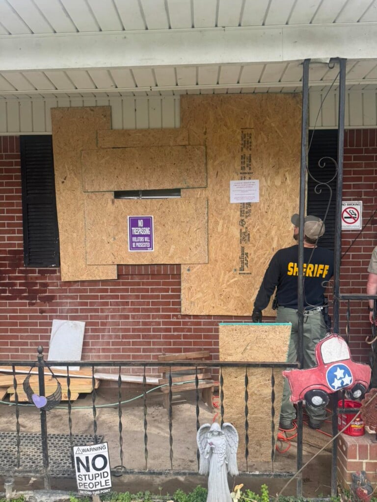
That same storm caused a tornado in Waynesboro and brought damage to the area.