Warmer Weather Continues with Cold Front Ahead
Thursday Morning Forecast
Weather Update – Thursday, February 10 – 7:30 AM
TODAY:
A cooler start to our morning on Thursday brings 30’s but a warm up will continue. We’ll reach highs into the upper 50’s to nearing 60’s by this afternoon. We’ll see a few clouds move in but sunshine will still remain. Winds should remain mostly calm or low for the most part with gusts nearing 5 mph. Overnight, wind speeds should pick up into tomorrow morning and cloud coverage should decrease. Lows should remain in the upper 30’s but quickly warm back up tomorrow.

TOMORROW:
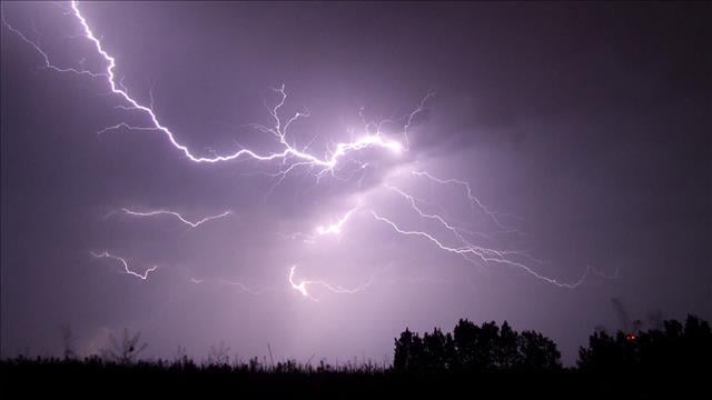
We start off mild but will quickly warm up into the upper 60’s to nearing 70’s by the afternoon. However, the chance for a few showers should pick up. A few scattered showers can’t be ruled out but most should hold off until the afternoon hours around 4PM. Wind gusts should pick up into the 20’s and 30’s with speeds possible into the teens. As the cold front passes overnight, temperatures will drop into the 30’s for lows overnight with cloudy skies remaining. Wind gusts may slightly taper off but will still remain in the upper teens. A little wintry mix could be spotted on the back side of the front but we’re not expected anything in terms of winter weather accumulation.

THIS WEEKEND:
By Saturday, colder weather remains with highs in the 30’s and clouds should move out overnight with lows nearing the teens and 20’s. Mostly clear skies should remain on Sunday with mostly clear skies. Highs will reach into the mid 40’s as southerly flow returns. Overnight, lows should drop back into the lower 20’s.

NEXT WEEK:
Sunshine continues Monday with highs in the 50’s. Overnight lows should drop into the upper 20’s with mostly clear skies. Another cold front should pass Monday afternoon but southerly flow makes a quick turn around and warmer weather into Tuesday. Tuesday highs should reach back into the 60’s as a few clouds move back in. Overnight lows should remain in the 30’s and 40’s. By Wednesday, 60’s and mostly cloudy skies remain with wind speeds increasing. Overnight lows should remain in the lower 50’s with rain showers picking up during the late evening and lasting overnight.

Shaley Dawson
Storm Team 7 Meteorologist
Twitter – @wxShaley
Facebook – @wx.Shaley
Instagram: @wx.Shaley
Email – @sdawson@wbbjtv.com