Meteorological Spring Begins Today!
Weather Update: Wednesday, March 1 —

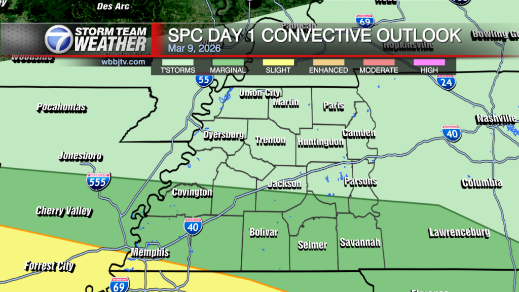
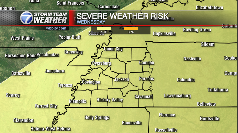
Good Morning West Tennessee. We start the day off fair with temps in the upper 50s to low 60s. Skies are mostly sunny, but high level cirrus clouds will create a veil over the sky. Clouds will gradually thicken/increase as the day goes along. At the surface, there is still some influence from the area of high pressure centered in the eastern Great Lakes. It is keeping dew points for the moment on the dry side, and consequently the lower troposphere stable. This configuration will keep the area mainly dry through the rest of this morning and a good chunk of the afternoon. Another cold front this morning extending from western Minnesota SW to eastern Oklahoma will start to advance eastward, increasing southerly flow along it will gradually saturate the atmosphere and increase instability. That process will likely take all morning thru at least mid afternoon before enough moisture is present to support isolated to scattered showers and storms. From there activity will increase in areal coverage and intensity, main concern tonight will be with training thunderstorms with heavy rain and perhaps a some large hail.

Storm Team Meteorologist
Moe Shamell
Facebook: facebook.com/mshamellwbbj
Twitter: @WBBJ7Moe
Instagram: @moeshamell


