Windy Evening Coming, Cooler & Calmer Wednesday & Weekend Storms Likely
WBBJ 7 Forecast Update
WBBJ 7 Forecast Update:
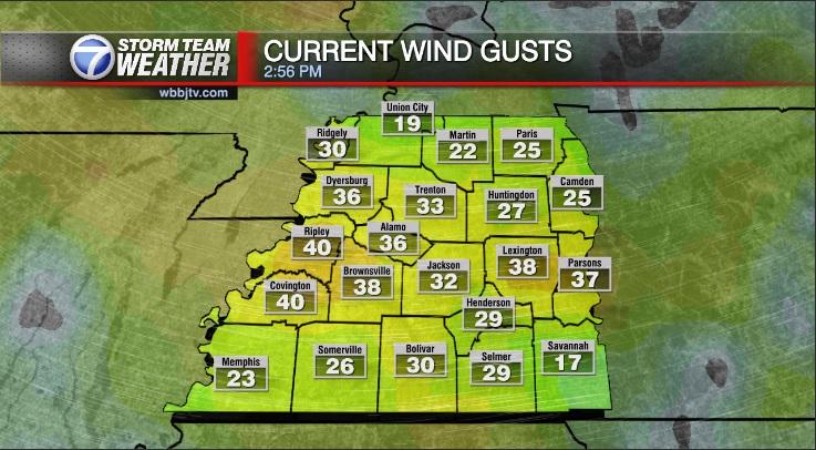
Behind today’s cold front, a chilly night is on the way and highs will fall short of 50° Wednesday. Those gusty winds will slowly weaken overnight and should be calm by Wednesday evening. Southerly winds will return increasing the temperature and moisture for the end of the work week. The next system is on the way this weekend and will look to bring a round of thunderstorms to West Tennessee. Catch the latest on the storm threat and the rest of your forecast coming up here.
TONIGHT:
As the cold front continues to pass through tonight the winds are going to stay quite breezy into Wednesday morning. Cooler weather will also funnel in tonight with most of West Tennessee falling into the low to mid 30s before the sun comes up on Wednesday. Skies will remain partly cloudy most of the night and we are not expecting rain showers or any type of precipitation from this front.

WEDNESDAY:
Wednesday is going to start out cold in the low to mid 30s and it will be breezy in the morning as well. As the day goes on the winds will weaken and become calm by the evening and night time hours. The wind direction will stay out of the north allowing highs to only reach the upper 40s across the region. We are expecting some clouds in the morning but a mostly sunny afternoon and evening is expected. It will be cool again Wednesday night due to the clear skies and calm winds with morning lows falling down near freezing to kick off your Thursday. Rain is not in the forecast on Wednesday.

THURSDAY:
Thursday will be another dry day packed full with sunshine across West Tennessee. The winds will begin to change direction as the day progresses and come out of the southwest. The winds should be light but will begin to pick up speed again on Friday. The southwest breeze though will warm West Tennessee back up to around the 60° mark by the afternoon. Thursday night lows will be cool but we should stay out of the 30s with overnight lows dipping into the low 40s to start your Friday.

FRIDAY:
Friday is going to be a mild, dry day and a transition day between two storm systems. The winds will pick up in the afternoon and expect 10-15 MPH southwest winds with higher gusts late in the day as Saturday’s storm system begins to get a little closer. Highs on Friday will make it up to around 60° with some of us reaching the low 60s. We will see clouds increasing late in the day but should start the day with plenty of sunshine. Friday night lows will stay warm due to the increase in clouds and winds and Saturday morning will start in the low 50s. Rain is not in the forecast on Friday
THE WEEKEND:
It will be a warm and humid start to the weekend as gusty southerly winds will increase the dew point well into the 50s juicing up the atmosphere just in time for an approaching low pressure system. This setup will look to bring severe weather back to the Mid South and possibly West Tennessee during the day on Saturday. We need to stay weather aware as the potential for severe weather with this system looks to be the highest we have seen in a few months for some areas.

Highs on Saturday will make it into the mid 60s with Saturday night lows dropping down near 40° behind the front. The showers may linger into early Sunday morning but most of us will be dry by Sunday afternoon. Sunday highs will only make it up to the upper 40s and Sunday night lows will dip down near freezing again. The winds will be windy on Saturday out of the south and remain a bit breezy on Sunday and come out of the northwest.

FINAL THOUGHT:
The greatest threat for severe weather in a few months looks to be heading for the Mid South this weekend. As of now it appears the greatest threat will be from Memphis to the southwest into Arkansas but we are still several days out and the forecast projected path of this system could change. It is also a very strong and big system, so although we may not get the worst of it, storms still look likely on Saturday. Severe weather for us looks more likely than not as of now on Saturday. Please stay weather aware and monitor the forecast this week as the storm system gets closer.
For tips on preparing for the storms, click here. To download the WBBJ 7 Weather app, click here.
Storm Team Chief Meteorologist
Joel Barnes
Facebook: @JoelBarnesWeather
Twitter: @JoelBarnes13
Instagram: @joelbarnes13


