A Couple Of More Warm Days Before A Cooldown
Wednesday Eve Update
Weather Update Wednesday, December 13th, 2023 7:10 PM.
Drought continues over west Tennessee and it doesn’t look to be going anywhere anytime soon and only limited points of rainfall with predominately dry weather looks to continue over the next few days. Long range outlooks don’t bring much in the way of an active weather outlook as well.

A storm system over north Texas and the western Plains will move slowly in our direction and brings a low end chance for rain over the weekend but despite it’s current intensity, We are expecting only a limited shot at rain and it want do much in the way of drought relief.

TONIGHT:
Partly cloudy with lows around 35 and light winds from the northeast at 5 mph.

TOMORROW:
Mostly sunny skies with a little warmer by afternoon for a very pleasant day in December. Highs topping out around 59-62. Light east winds around 5 to 10 mph.

NEXT RAIN CHANCE?
Partly cloudy skies tonight but we’ll return to mostly sunny skies on Thursday as the highs top out close to 60 degrees! The trend will keep going into Friday as highs again top out around 60 with an increase of clouds towards late afternoon. Saturday will be mostly cloudy and mild in the mid 50s. As the next system passes by just to our south, we’ll likely catch a few showers late Saturday evening but return to a dry pattern on Sunday with skies slowly becoming less cloudy throughout the day. Cooler and dry weather in the lower 50’s to follow into the start next week.

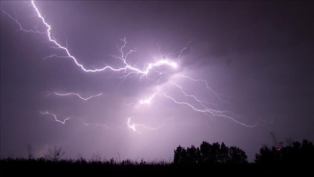
SEVERE WEATHER?
While there will be some storms associated with the next system, most of the storms will be south of the area all together as it looks now. Temperature profiles will be much cooler than what we saw the past weekend and dynamics are not nearly as high. Therefore, we are not expecting any severe weather with this system and most of the energy with the system will dive south of the west Tennessee area. Storms will be likely along southern portions of Mississippi and Alabama where the warmer temperatures will be this weekend.
Long Range Trends:


The current long range forecast trends are for drier than normal weather and warmer than normal weather.
Final Thought: A slight shift in the current system ahead could bring more rain amounts to west Tennessee and although the past weekend was actively severe, we have dodged long periods of extreme cold, Winter weather events, and large amounts of flooding rains. It looks like for now we are not expecting any major extreme events for several days but that could all change at the end of December and January! Stay with WBBJ 7 online and on-air for the latest as we get closer towards the holidays and into the week ahead. We’ll continue to update as we move along.
Brian Davis

Storm Team 7 Meteorologist
Twitter – @Brian7wbbj
Facebook – Briandaviswbbj
Email – Badavis@wbbjtv.com