Foggy Night Coming, More Rain Thursday & Saturday
WBBJ 7 Forecast Update
WBBJ 7 Forecast Update:
Visibilities have dropped below 1/4 mile for most of West Tennessee tonight. The thick fog will stick around overnight and linger into the morning for many of us.

The high humidity and calm winds will allow for widespread fog to develop tonight across West Tennessee. The rain will be light and almost like a drizzle overnight. Heavier rain and even a few storms will mix in again on Thursday before we dry out again on Friday. Another system is coming this weekend but it might be the last for several days. Catch the full forecast and latest details here.

TONIGHT:
The rainy weather continued on Wednesday. Like Tuesday, we saw a round in the morning and a break into the afternoon. More rain will return tonight and even a few weak storms may develop as well, but we are not expecting severe weather. Wednesday was a warm and humid day with highs reaching up to around 60°. Overnight lows will also stay warm due to the humidity and only fall down to the mid 50s. Clouds will stick around all night and the winds will come out of the south and be light tonight. Rain chances are 60% tonight but look out for some thick fog. The most likely places to see fog will be places northwest of Jackson.

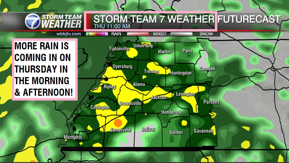
THURSDAY:
The best shot for a few weak storms will be on Thursday, but the overall threat for severe storms appears to be low. We are expecting heavy rain at times on Thursday and the rain will likely clear out overnight into Friday morning. Highs on Thursday will stay well above normal and reach up to the low 60s again. Thursday night will be a little cooler and we should fall down the mid 40s by Friday morning. Clouds will again stick around most of the day and the winds will come out of the southeast. Chances for rain are at 90%.
FRIDAY:
Rain will clear out by the morning on Friday and we will see a dry afternoon and evening for all of West Tennessee. Highs on Friday will again be close to 60° and Friday night lows will drop down to the upper 40s. Rain is not in the forecast on Friday but will return late Friday night into Saturday morning. We should see the clouds break up some into the afternoon and evening but expect a mostly cloudy day. The winds on Friday will come out of the north into the afternoon as Thursday’s system moves out.\

THE WEEKEND:
One more system will move through on Saturday before what appears to be a long dry spell starting on Sunday and lasting into next week. Saturday’s rain chance is at 80% and we are not expecting rain on Sunday. We should see cloudy skies on Saturday and mostly cloudy skies will linger on Sunday but might try to clear out Sunday night making for a cooler start to Monday.

Saturday highs will reach the mid to upper 50s but Sunday highs will stay in the mid 40s. Saturday night lows will fall down to around 40° and Sunday morning we could fall back down to the mid 30s but should stay above freezing. The winds will move from the northeast to the northwest on Saturday and then the northwest to the west late on Sunday. Next week looks to be a much drier week with temperatures staying above normal for the most part as well.
FINAL THOUGHT:
All the snow melted early this week but was replaced by several rounds of rain showers. Everyone should see a minimum of 2″ of rain this week with some folks picking up over 4″ of rain. A few storms will be possible but we are not expecting severe weather in West Tennessee this week. Some flooding issues may arise so we will be keeping a close eye on the rivers, creeks and streams later during the week. We might be staying above freezing for the next few weeks too!
For tips on preparing for the storms, click here. To download the WBBJ 7 Weather app, click here.
Storm Team Chief Meteorologist
Joel Barnes
Facebook: @JoelBarnesWeather
Twitter: @JoelBarnes13
Instagram: @joelbarnes13


