Cool Saturday, Warmer Sunday, Storm Threat Back Next Week!
Saturday Morning Update
A weak cold front will pass through early Saturday making for a cool day with highs only reaching up to around 53°. Sunday morning will be chilly as well with some of us falling down near freezing. Southwest winds return on Sunday warming us back up to the upper 60s. 70s are coming next week, but that will lead to a severe storm threat for severe storms coming sometime between Tuesday night and Wednesday afternoon as well to the Mid South. We will have the latest forecast details here.
TODAY:
We are in for a cool but sunny day with brisk north breezes around 10 to 15 mph. High temperatures will only reach to around 53° .

THE WEEKEND:
After a cool pleasant day on Saturday, we’ll start to warm things up again late this weekend. After a cold start on Sunday, we’ll warm up to around 69-70 in the afternoon with sunny skies. As of now, rain showers are not in the forecast this weekend.

NEXT WEEK:
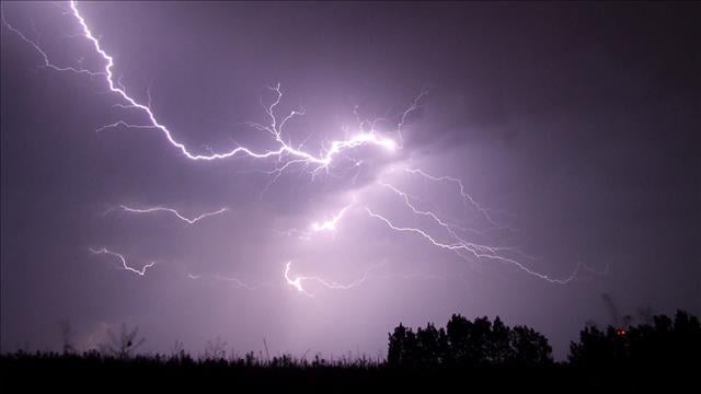
The greatest storm threat in several months looks to be on the way next week. We are likely going to start off next week above 70s for both Monday and Tuesday. The humidity will also be increasing late Monday into the day on Tuesday and that could help set the stage for a few rounds of thunderstorms in the middle of next week. This could be our first shot at some significant severe weather so far this season.
(UPDATED AS OF SATURDAY MORNING)
The system is still almost a week out and the forecast will likely change but we should have a better idea what to expect and when by the upcoming weekend. The winds will come out of the south and southwest for the first half of the week and we should see mostly sunny to partly cloudy skies to kick off next week as well. Rain showers or weak storms cannot be ruled out on Monday and storm chances increase starting Tuesday night. The main event for us in West Tennessee is going to be here either late Tuesday or early next Wednesday.
FINAL THOUGHT:
Long term forecast models are suggesting a warm finish to the month of February and a warm start to March. Spring is about 4 weeks away and starts on March 19th this year. As the warmer weather moves in, we might be transitioning to more of a severe weather threat than a cold and snowy one for the last month of Winter. The next chance for storms is coming in on Thursday this week, but the following weekend is looking pretty nice though.
For tips on preparing for the storms, click here. To download the WBBJ 7 Weather app, click here.
Brian Davis
Storm Team 7 Meteorologist
Twitter – @Brian7wbbj
Facebook – Briandaviswbbj
Email – Badavis@wbbjtv.com


