Showers And Storms Increase After Noon
Weather Update: Monday April 29 —
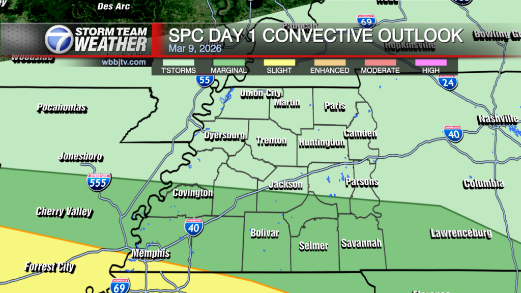
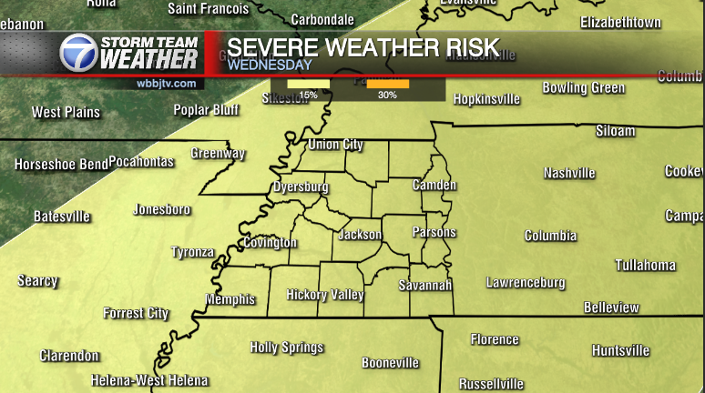
All is quiet this morning over West Tennessee this morning. There is still the matter of the larger trough and associated cold front that will slowly approach from the west as the day goes along. This morning the atmosphere remains fairly stable. There’s a decent amount of dry air within the mid levels of the atmosphere, which is eating away at the showers that are trying to shift east along the old MCS that moved through SE Arkansas overnight. In addition to that, there is an organized MCS along the gulf coast which is eating up moisture returning ahead of the main surface front. As it decays and stronger flux of moisture and daytime heating take over this afternoon moisture should gradually fil in the dry pockets, which will lead to an increase in areal coverage and intensity of showers and storms, 06z HRRR soundings shows this most pronounced generally after about 4-5 PM. Unidirectional/near parallel flow to the trough will likely aid in efficient and heavy rainfall with storms especially by this evening. Slow eastward progression may lead to some localized flooding issues into the evening…

Storm Team Meteorologist
Moe Shamell
Facebook: wwww.facebook.com/mshamellwbbj
Twitter: www.twitter.com/WBBJ7Moe
Instagram: @moeshamell


