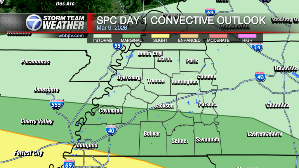
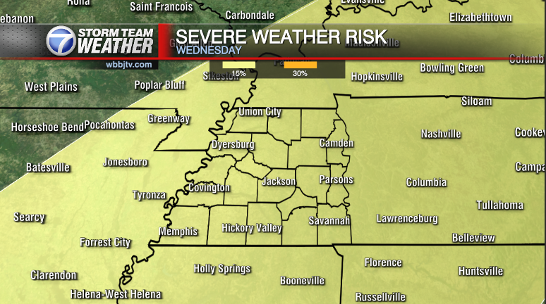
Steady Showers Become Spotty Sunday
Weather Update: Saturday, December 14 —
After a rainy second half the day. Showers are expected to continue through this evening as a cold front gradually advances east from Central Arkansas into West Tennessee through daybreak Sunday. The moist conveyor belt/main axis is well ahead of the frontal feature and will shift into Middle Tennessee by Midnight. The main forcing along the front will lag behind keeping few spotty areas of rain through the overnight.

Sunday:
The surface front will ultimately slam on the brakes during the day as the next system starts to drop out of the Rockies into the Plains, this will keep the boundary around maintaining mostly cloudy skies and perhaps a few light areas of rain during the day. Temperatures will climb back towards the lower 60s since low temp won’t drop out the mid 50s thanks to the clouds and stalling boundary. Despite the rain chances, Sunday still look drier than Saturday
Storm Team Meteorologist
Moe Shamell
Facebook: www.facebook.com/mshamellwbbj
Twitter/X: @WBBJ7Moe
Bluesky: @wbbj7moe.bsky.social


