Warm and Spring-Like This Week
Weather Update: Monday, March 10 —
Good Morning West Tennessee. We have a gorgeous day on tap as temps rapidly surge through the 30s,40s and 50s this morning. By Noon, or lunchtime temps will be in the low 60s by then. Abundant sunshine will continue into the afternoon, pushing temps to around 66-68°F at the warmest point of the day. Skies will remain clear with surface high pressure will in control this evening over South-Central Mississippi. Temps will fall into the mid 40s overnight into Tuesday. That will still give a nice head start to the day where temps will climb quickly through the mid 60s by mid Morning on Tuesday. we will easily climb to around 73-75°F both from expanding heights from the west and southerly winds off the aforementioned surface high in the South. This warming trend will continue on Wednesday and we will remain precipitation free through all of it.

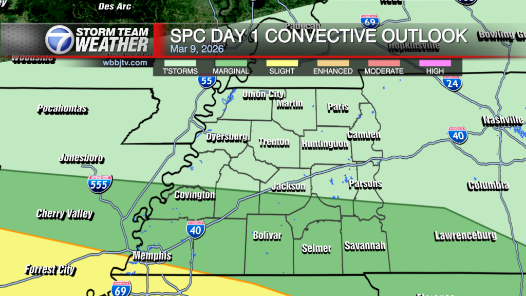
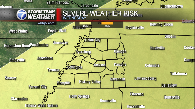
The threat of organized storms, some potentially strong to severe is present by Friday. It is near mid-March afterall. Its the beginning of our severe weather season. No surprise there. It’s really a bit early to be getting too specific on the severity, timing or particular threats of the storms at this juncture. We’ll be fine-tuning that as we draw closer to Thursday, by then CAMs ( Convective Allowing Models ) will have a stab at it and the threat will become a lot more clear. Until then its a pretty big guess, the pattern is there, but the details on the ingredients are not.

Storm Team Meteorologist
Moe Shamell
Facebook: www.facebook.com/mshamellwbbj
Twitter/X: @WBBJ7Moe
Bluesky: wbbj7moe.bsky.social
Instagram: @moeshamell


