Mostly Clear/ Cool Tonight. Saturday Warm And Breezy, Chance Of Storms Sunday Late Afternoon.
Weather Update: Friday, March 21 —
Good Morning Everyone! We are in for a lovely day in the weather with plenty of sunshine. A front will stall out in the area but the front is vey dry and relatively weak but will become quasi-stalled and stick around throughout the day on Saturday. It won’t produce any precipitation, but will be present through the day. After starting out in the upper 40s to low 50s, We’ll be up close to 70 in the afternoon with plenty of sunshine!

Sunday Morning:
the aforementioned frontal zone will start to become active as the remnants of a complex of storms moves east into the Midsouth. It appears a few lingering showers an a weak storm or two might be possible along the front, but they’ll be well below severe criteria ( likely not even strong at all… ) .

Sunday Afternoon:
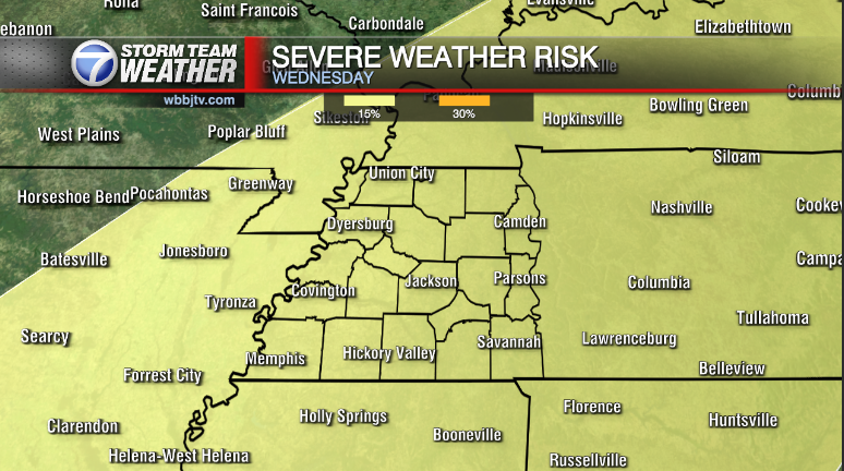
A stronger trough will be dropping south into the Midsouth by late Sunday Afternoon to early in the evening. This will provide lift for a little bit of instability that will build in SW Tennessee. A few storms or storm clusters will be possible along with fairy stout mid level shear. Perhaps enough to support a brief window for strong storms between 3-7 PM before the threat quickly shifts south into North Alabama and Mississippi.
High pressure returns on Monday with some beautiful and dry weather for much of next week. We are watching another potential severe weather event that could be a longer and more powerful duration of storms around Sunday of next week. We’ll see how well it develops and have updates as we get closer.
Brian Davis
Storm Team 7 Meteorologist
Twitter – @Brian7wbbj
Facebook – Briandaviswbbj
Email – Badavis@wbbjtv.com


