Warm Front Lifts North Today, Windy And Warm This Afternoon
Weather Update: Friday, April 4 —
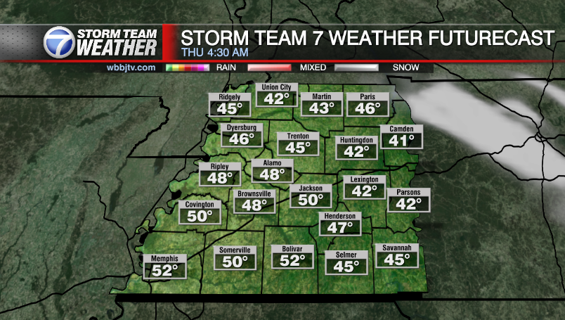
Good Morning West Tennessee. e have a few lingering showers this morning in Northwest Tennessee. A now stalled surface front is forecast to surge northward as the morning progresses. This will eventually thermally cap the region which will keep the area dry and mostly rain free this afternoon. It is certainly a welcome reprieve, but one that won’t last very long as another episode of strong to severe storms will be ongoing west of the Mississippi River. That activity will eventually get a push east into West Tennessee tonight. It will be the start of another wave train of storms all capable of heavy rain, hail and strong winds. this will be occurring over already saturated soil and swollen waterways, this will only end one way, that is significant flooding by Sunday morning… A Flood Watch remains in effect for all of West Tennessee, there are numerous river flood warnings already in place as well.

Storm Team Meteorologist
Moe Shamell
Facebook: www.facebook.com/mshamellwbbj
Twitter/X: @WBBJ7Moe
Bluesky: wbbj7moe.bsky.social
Instagram: @moeshamell