Sun/Cloud Mix, Scattered PM Storms Likely
Weather Update: Monday June 30 —
Good Morning West Tennessee. We start the work week off quite humid and warm. Temps this morning have been hovering in the low to mid 70s. There’s also a deck of mid to low level clouds in place which will stick around through later this morning when the low-level inversion breaks and the atmosphere is able to mix them out. Once over to sunshine this afternoon temps will climb steadily through the 80s, likely peaking around 88-90°F. Of course with the abundant surface moisture still in place ( dew points in the mid 70s) this will mean heat index values will be in the 97-102°F range, this is shy of the NWS criteria for heat advisory, but still dangerous nevertheless.

This Afternoon:
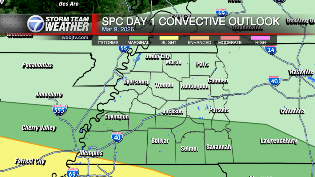
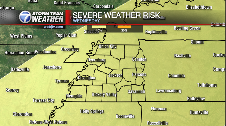
Attention will shift to a narrow corridor of enhanced mid-level shear which will tighten up through mid-afternoon south of a east-moving surface cold front. South of the Midsouth is a mid-level ridge which is centered over the lower Mississippi River valley. Convection is expected to ignite likely somewhere around 2-3 PM likely in SE Missouri first before plunging ESE along the NE periphery of the aforementioned ridge. If storms congeal and organize into a forward moving MCS, widespread damaging winds will be the main threat this afternoon.

Storm Team Meteorologist
Moe Shamell
Facebook: www.facebook.com/mshamellwbbj
Twitter/X: @WBBJ7Moe
Bluesky: wbbj7moe.bsky.social
Instagram: @moeshamell


