False Fall In Full Swing This Week!
Weather Update: Monday, August 25 —
Good Morning West Tennessee. An unseasonably cool and dry air mass is swinging through much of the eastern US this morning creating a stark contrast to the past few weeks. Locally temps started out in the mid 50s for much of the region. The upper trough will provide additional hots of continental polar air as the week progresses. It will likely drive morning lows into the low 50s Tuesday morning and then into the upper 40s potentially on Wednesday morning, of course temps will hinge on the degree of cloud cover both on the maximum and minimum.
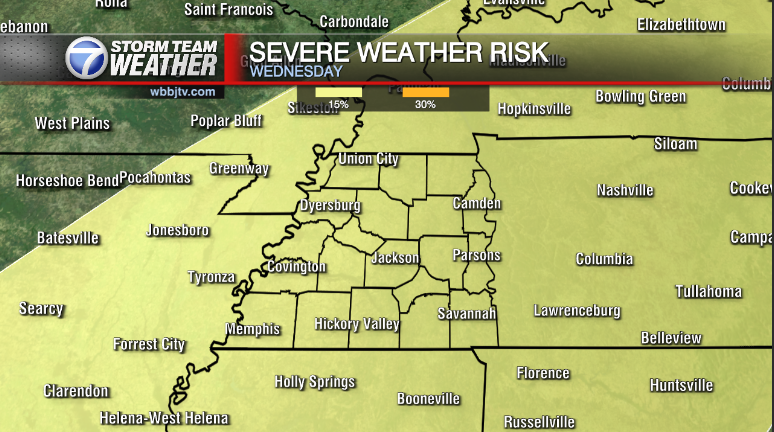
 In either case the general trend will keep temps all week a solid 10-13°F below normal for the final week of August. There will be a sneaky rain chance that slips into the forecast as a disturbance along a shallow ridge shifts east from the Central Plains later Wednesday into Thursday. It will provide a stead and much needed rain at times to the Midsouth.
Storm Team Meteorologist
Moe Shamell
Facebook: www.facebook.com/mshamellwbbj
Twitter/X: @WBBJ7Moe
Bluesky: wbbj7moe.bsky.social
Instagram: @moeshamell


