Rain Will End By Early Afternoon, Cooler Afternoons And Chilly Mornings Ahead
AM Saturday
Good Saturday Everyone,
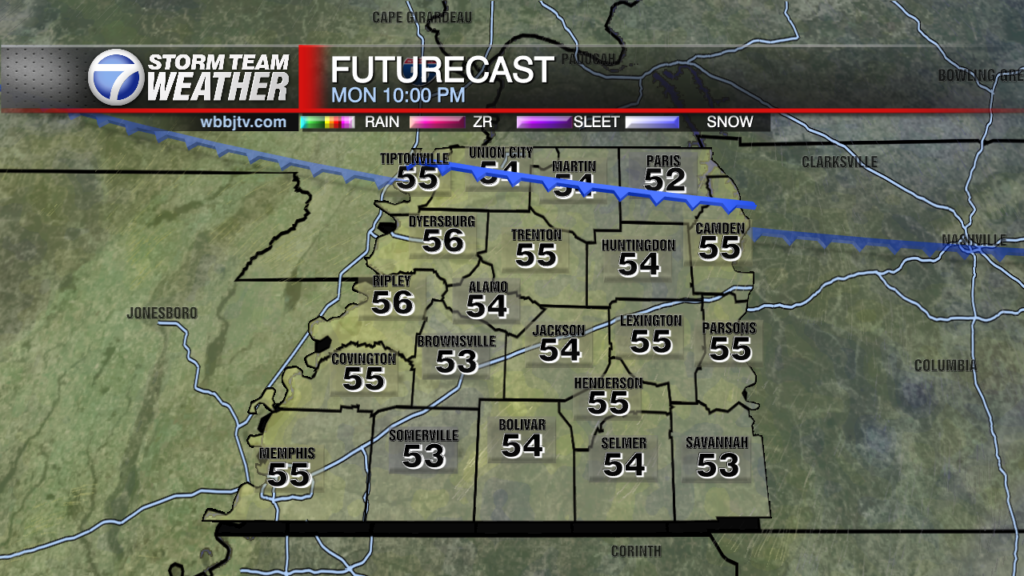
Scattered showers and storms brought some needed rain overnight into the morning and while some very local areas saw near 3 inch rainfall totals, most areas received less than a quarter inch of rain. Rain will move out as we head into early afternoon as a cold front brings in a blast of Fall. Highs will only climb to the mid 70s this afternoon and lows tonight will dip down to around 50 degrees. We’ll have a light north breeze to go with it. Jacket wearing weather will be with us the next 3 mornings!

Today will be our coolest day of the weekend as highs only get into the mid to upper 70s. With north winds at 5 to 10 mph, early afternoon will still feel a little chilly before we warm into the mid 70s in the mid to late afternoon.

Tonight will be a cold to chilly night worth having a Jacket if you are heading out late. We could have some isolated areas in the upper 40s by early morning and most of us will be around the 50 degree mark by sunrise.

High pressure will roll into the area behind the cold front and the rain moves out in the afternoon. After a cold morning on Sunday, we’ll warm a bit to around 82 by the afternoon with mostly sunny skies. Temperatures will remain in the lower 50s in the morning an lower 80s for highs through Tuesday and warm to the upper 80s by Wednesday. Morning lows will return to the lower 60s late week. Highs will return to the lower 90s Thursday through the Weekend.
Brian Davis
Storm Team 7 Meteorologist
Twitter – @Brian7wbbj
Facebook – Briandaviswbbj
Email – Badavis@wbbjtv.com