Showers And Storms Probable By Late Morning
Monday, September 22 —
Today:
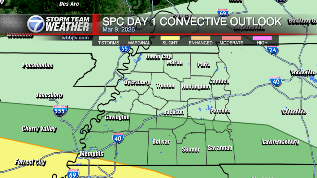
Good Morning West Tennessee. We start the morning off with a good deal of clouds, some lingering showers mainly in NW Tennessee around Weakley, Henry and Carroll counties. That activity will shift north into Kentucky giving way to mainly partly to mostly cloudy skies through this morning for the remainder of West Tennessee. Temps will climb through the upper 70s into the 80s through late morning into the afternoon. After lunch showers and storms are expected to increase in NE Arkansas/SE Missouri. That activity will start to spread east into the rest of the region mainly after 1-2 PM. Some of these storms will pack a punch producing very heavy rain, frequent thunder/lightning and wind gust around 45-50 mph. While that is not severe, it’s enough to get your attention and knock down a few trees today. Most CAMs push this activity east of the Tennessee river by 5-6 PM.

Tomorrow:
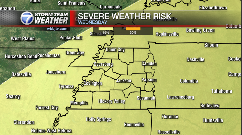
A surface cold front will start to advance ESE towards I-70/Mid Mississippi River Valley. Aloft we expect a weak, but appreciable mass response increasing shear over the Midsouth. At the surface, southerly flow will transport upper 60°F-70°F dew points into the region. Storms are likely to develop and increase in areal coverage, some of which my be strong to potentially severe. This may occur in multiple rounds, the first of which may be as early as late morning Tuesday along an elevated warm front, it will eventually set us into a pseudo warm sector, that may set the stage for a second, perhaps more robust round of strong-severe storms in the afternoon through early evening.
 Storm Team Meteorologist
Moe Shamell
Facebook: www.facebook.com/mshamellwbbj
Twitter/X: @WBBJ7Moe
Instagram: @moeshamell


