A Dry Weekend Ahead, Rain Arrives Next Week
Saturday Morning Update
Welcome into the weekend as we are looking rain free ahead. Dewpoints will be lower today making for a fair to comfortable day. We will notice the slight increase in the humidity tomorrow but the day still looks nice and dry. Rain will stay away until Monday.

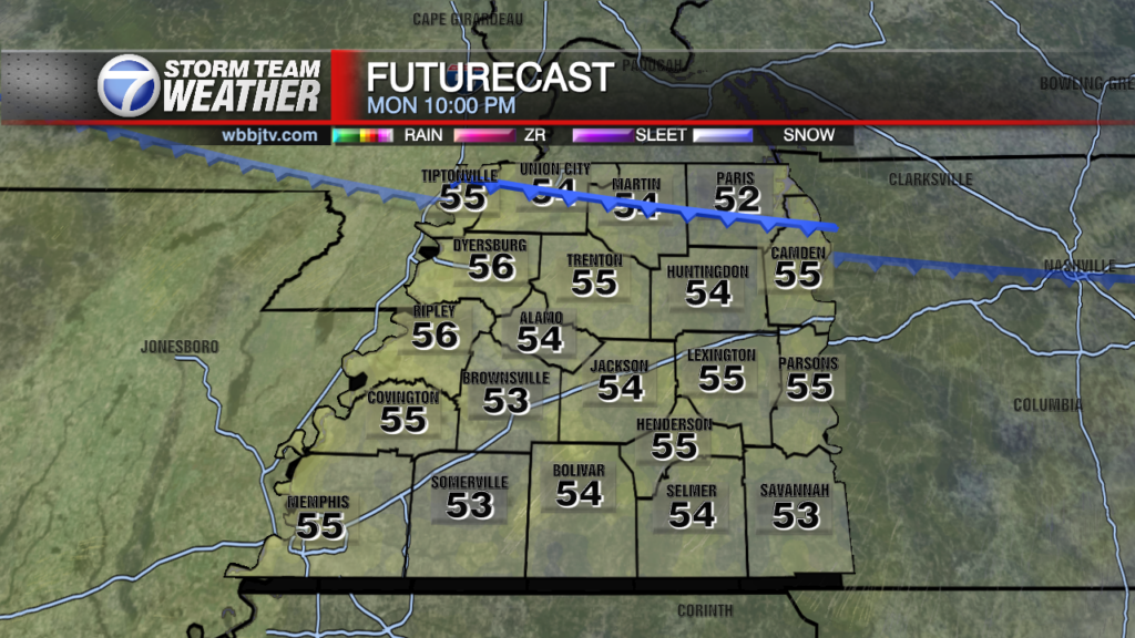
We are watching two disturbances in the Gulf which have a chance of developing into something more, but the chance is low. We will likely get some rain off the nearest low pressure area by Monday afternoon and evening.

Winds will turn out of the south by Sunday evening as we’ll notice an increase in the humidity and scattered showers will start to approach from the south around Monday morning. Rain will be more likely by afternoon Monday.

Chances will be at around 40% by Monday afternoon and climb to around 60% into Tuesday.

A off and on rainy day looks to be likely for Tuesday and showers will likely linger into early Wednesday before moving out Wednesday afternoon. Cooler and drier air moves in behind the system and some pleasant to cool Fall weather returns late week!
**Don’t forget to look up on Monday evening! Skies will be partly to mostly cloudy, but we may get some good looks in between clouds on Monday night. Supermoon means closer and many refer to it as the Harvest Moon due to it giving extra light in the evening to harvest crops. The moon will rise around 6:04 pm on Monday night and be at peak around 10:47 pm. It will appear around 14% larger and 30% bigger!

Stay with the WBBJ 7 Weather Team for the latest on how much rain we may get next week as well as how much cooler it will be late week. We always have updates available on-air, online, and on our WBBJ 7 Weather App.
Brian Davis
Storm Team 7 Meteorologist
Twitter – @Brian7wbbj
Facebook – Briandaviswbbj
Email – Badavis@wbbjtv.com