Beneficial Steady Rain Late Morning And Afternoon
Monday, October 6 —
Good Morning West Tennessee! We start the morning off with mainly cloudy skies along with some sprinkles and light rain. Temps are hovering in the low 70s along with a fairly nice ESE breeze around 5-10 mph. Rain will start off fairly light, however will increase in areal coverage and become steadier especially by late morning, continuing through the afternoon. there is a consistent signal there will be a bit of a lull at some point during the mid to late afternoon hours. This might be an opportunity to build weak instability, which might complicate matters for some.

Tonight/Tuesday:
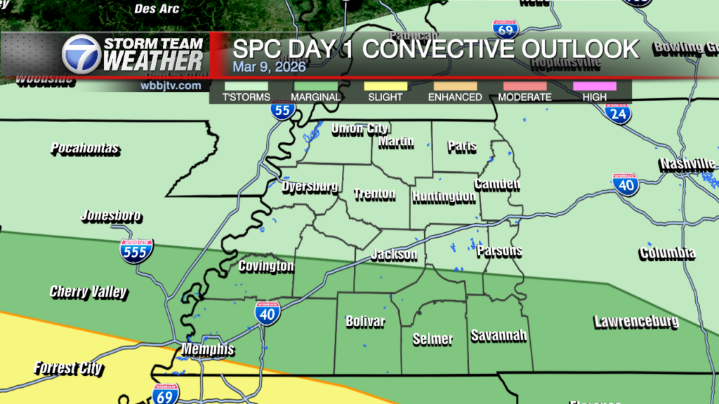
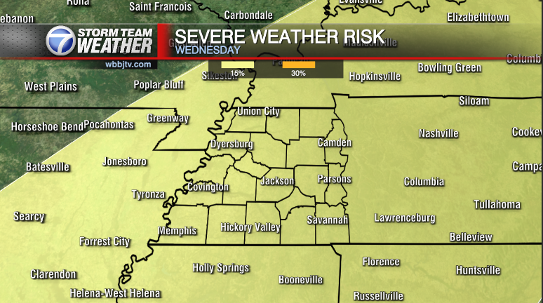
We will also be switching sources of lift well after sunset tonight. The pseudo-cold front from the north will approach the Midsouth adding a bit more lift to the moisture, which means convection and heavier rain will likely become more involved, closer to the boundary. WPC ( Weather Predictions Center) has already placed a Slight(2/4) for localized flash flooding, particularly in NW Tennessee extending NE into the Purchase region of West Kentucky. This is the region that was previously highlighted in the D3 -extreme drought. Nevertheless, the surface front will continue progressively SE across the region on Tuesday, there is a chance along the front especially in the lull through late morning, the atmosphere builds weak instability. There may be a few storm along the front. Not expecting them to be strong, but could bring a few bouts of heavy rain before the rain comes to an end by Tuesday Evening.

Storm Team Meteorologist
Moe Shamell
Facebook: www.facebook.com/mshamellwbbj
Twitter/X: @WBBJ7Moe
Instagram: @moeshamell


