A Warmer Day Ahead, Potential For Severe Storms To Arrive Later This Evening
Saturday Morning Update
WBBJ 7 Forecast Update:
Severe weather will be possible as we go into the evening, but ahead of the severe weather we will have a nice day ahead. As it looks now, we should be under some dry and warmer weather until at least 6 pm with most of the storms from around 8 pm to 1 am in the morning. The risk is low for tornadoes but damaging winds and some hail will be more likely in some storms. We will break everything down for you coming up here.
The tornado threat is broken down here and is at a 5% risk over the western counties as seen below. A 2% risk is outlined over the rest of the area. We all should remain weather aware this evening.
THIS WEEK:
This is our first threat for severe weather during what we call our “Second Severe Weather Season!” The set-up is going to bring severe weather with it, but the timing of the storms will determine the severity of the event for us here in West Tennessee. As of now, we are expecting this to be an evening and nighttime event on Saturday. Please stay weather aware this week and monitor forecasts from the WBBJ 7 Storm Team Weather Center.
THE WEEKEND:
The greatest threat for strong and possibly severe storms in a couple months looks to be returning to West Tennessee. As we get deeper into October we start to kick off what we call our Second Severe Weather Season. In the fall, it is not abnormal to encounter severe and dangerous weather. The set-up coming this weekend looks like a classic fall severe weather set-up. As of now, the further west you are, the more likely you will be to be impacted by strong storms on Saturday. This is due to the timing of the storms and they are likely to weaken as they move to the west late in the day on Saturday. All severe weather modes will be in play. We want the system to slow down some for us as that will keep the worst storms west of the Mississippi River. It is going to be a close call for us regardless. As of now it looks like most of the active storms will be between 8 pm and midnight, HOWEVER, a couple of stray storms could pop ahead of the main line as early as around 6:30 to 7 pm this evening so remain weather aware.
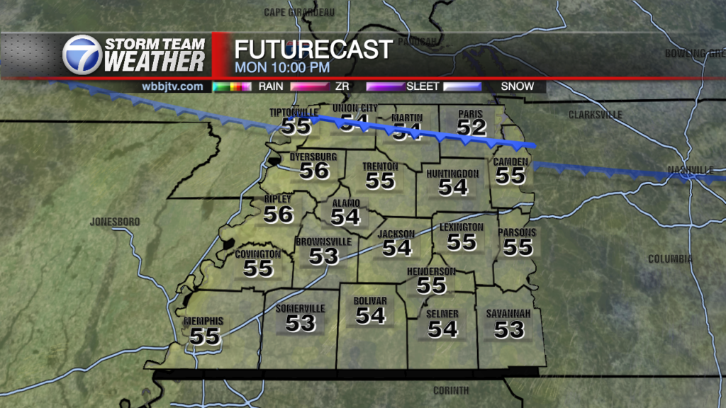
Expect a mostly cloudy day on Saturday with the clouds clearing out late morning on Sunday. Some of the showers and storms could continue into early Sunday morning. Get out the jackets! Sunday will have a blast of much cooler Fall air arriving! While Saturday’s high will be just under 90 degrees, Sunday will struggle to get out of the mid 60s for highs! Mostly sunny and dry weather back for our Monday. Some very pleasant weather through much of next week until our next possible system comes in around next Friday.
We will update through the day as needed ahead of the severe weather. Remember, we will also have updates on our weather app for those on the go. It is free in all app stores.
Brian Davis
Storm Team 7 Meteorologist
Twitter – @Brian7wbbj
Facebook – Briandaviswbbj
Email – Badavis@wbbjtv.com


