Another Cold Front Coming Our Way, Cooler Weather Mid Week
Monday Evening Forecast
Weather Update: Monday, October 20 —
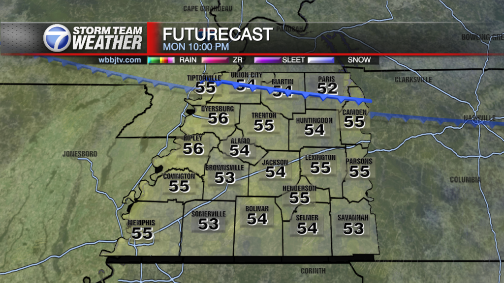
Another cold front will move our way late tonight. This will be a clipper front which typically contains very little precipitation if any but there will be a slight chance of a sprinkle or shower mainly afternoon midnight and most of the clouds will be moved back out by sunrise tomorrow. We won’t see much affects from the front but we’ll be a little colder in the next few mornings to follow. Winds will also be a little gusty in the late afternoon on Tuesday and could gust up to 30 mph a couple of times in the northern counties.

Today we topped out at 74 degrees after a cold Fall morning at 39! You can certainly tell Fall has arrived. Cloud cover will keep us a little milder tonight but cold mornings will quickly return Tuesday night. Tonight’s slight chance of a sprinkle will be the last chance of rain until at least Thursday.

Any clouds or sprinkles will quickly move out before sunrise and another sunny day looks to be on tap for Tuesday. Highs will top out around 73-75, but by Wednesday morning, we’ll be in the lower 40s. Dry weather will settle in for a Wednesday and Thursday as high pressure controls our weather.

Our next rain chance will be on late Friday as our next approaching system arrives. It looks like a few scattered showers will move our direction by Friday afternoon/evening. Better rain chances look to be with us on Saturday into Sunday with lingering showers and drizzle into Monday.

Stay with the WBBJ 7 StormTeam for the latest on how cool it will get as well as how much rain we may get into the weekend. We will have the latest online and on-air.
Brian Davis
Storm Team 7 Meteorologist
![]()
Twitter – @Brian7wbbj
Facebook – Briandaviswbbj
Email – Badavis@wbbjtv.com