Clouds Increase Early, Showers Likely Later
Weather Update: Monday, November 24 —
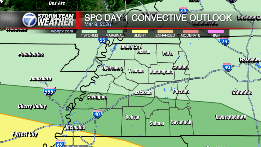
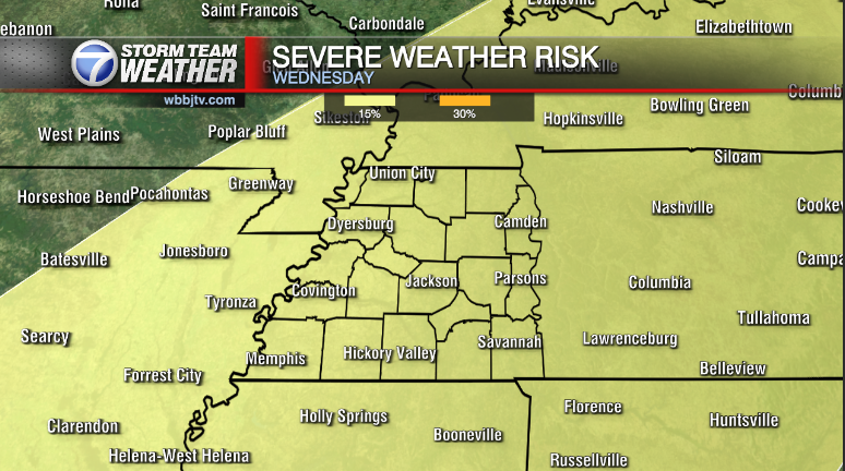
Good Morning West Tennessee. A foggy start to the morning. A dense fog advisory is in effect through 10:00 AM CST for areas along and north of I-40. Clouds will increase today as a mid level trough translates from the Front Range into the Central Plains. There is an area of broad shear that will be spreading east along the Red River eventually into the Mid-Mississippi River Valley. At the surface, there is a warm front along the northern Gulf Coast, as surface pressure deepens in response, the warm front is forecast to lift north across Mississippi/Alabama. Moisture meanwhile will be increasing aloft as isentropic upglide increases. This will likely form a large area of rain spreading from Arkansas over into the Midsouth, likely by late afternoon into this evening. There may be a little elevated instability, which would support pockets of heavy rain along with some embedded thunder/lightning at times. The overall threat of any organized convection is very low and should remain confined to the warm sector over central Mississippi, far removed from the Midsouth/West Tennessee today.

Storm Team Meteorologist
Moe Shamell
Facebook: www.facebook.com/mshamellwbbj
Twitter/X: @WBBJ7Moe
Instagram: @moeshamell


