Great Weather Through Saturday, Windy Sunday, Storms Sunday Night, COLD Monday!
WBBJ 7 Forecast Update
WBBJ 7 Forecast Update:
It has been a sunny but cooler day today in West Tennessee. We should fall down to around 40° tonight, but will warm back up into the mid to upper 60s on Friday. The weather will be even nicer on Saturday but Sunday the great weather will come to an end. The winds are going to be intense most of the day on Sunday as the next system will be approaching during the day. Some storms and rain showers will be returning Sunday evening/night with gusty winds being the main threat. We could have a couple severe storms, but regardless of the storms, Sunday is going to be windy. Behind the front most of us will drop down near freezing Monday morning and everyone in West Tennessee should fall into the 20s on Monday night. Catch it all coming up here.

THIS WEEK:
Thursday and Friday are looking like really nice days for all of West Tennessee. Thursday was cooler with highs reaching the upper 50s and Friday we should warm back up to the upper 60s to near 70°. The humidity was low on Thursday but will increase some this weekend again. Thursday night lows will fall down to around 40° and even some upper 30s will be possible for some of us. Friday night lows will be higher, but it will still be a bit chilly to kick off the weekend into the mid 40s. Expect sunny skies for the most part on Thursday and Friday and the winds will come out of the north on Thursday but slowly move back to the south during the day on Friday!

THIS WEEKEND:
The weekend is going to be a tale of two days for us here in West Tennessee. Saturday is going to be a great day with highs in the mid to upper 70s with plenty of sunshine. The winds will come out of the south around 10mph and showers and storms are not expected on Saturday. Saturday night the humidity will increase a bit with morning lows falling down to around 60° on Sunday. The winds will kick up some on Sunday and more clouds will move on it as the day goes on.

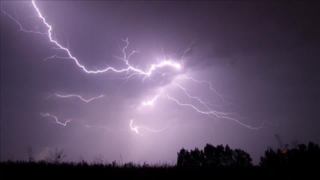
Storm chances will return on Sunday towards the back half of the day as a strong cold front is going to come racing through West Tennessee. Severe storms cannot be ruled out at this time. Highs will still reach the mid to upper 70s on Sunday but as the front passes Sunday night, temperatures will plummet all the way down to the low 30s and not warm up much at all during the day on Monday. Most of us will fall into the 20s Monday night into Tuesday morning next week.

NEXT WEEK:
We are looking at a very chilly start to next week but should start to warm back up again by the middle of the week. We will be back up above normal as we wrap up the work week and possibly close to record highs again by the following weekend. Monday morning we will start our around freezing and barely make it up to around 40° in the afternoon. The wind chill will make it feel in the 20s at times on Monday. Monday night lows will fall all the way down to the low to mid 20s. Tuesday highs will reach the mid 40s but highs will get close to 60° on Wednesday. Rain is not in the forecast as of now for next week. The winds will start out of the northwest to kick off the week but turn to the south by Wednesday and stay in that general direction into the weekend.

Storm Team Chief Meteorologist
Joel Barnes
Facebook: @JoelBarnesWeather
Twitter: @JoelBarnes13
Instagram: @joelbarnes13