Dry Forecast, Near Record Highs This Weekend!
WBBJ 7 Forecast Update
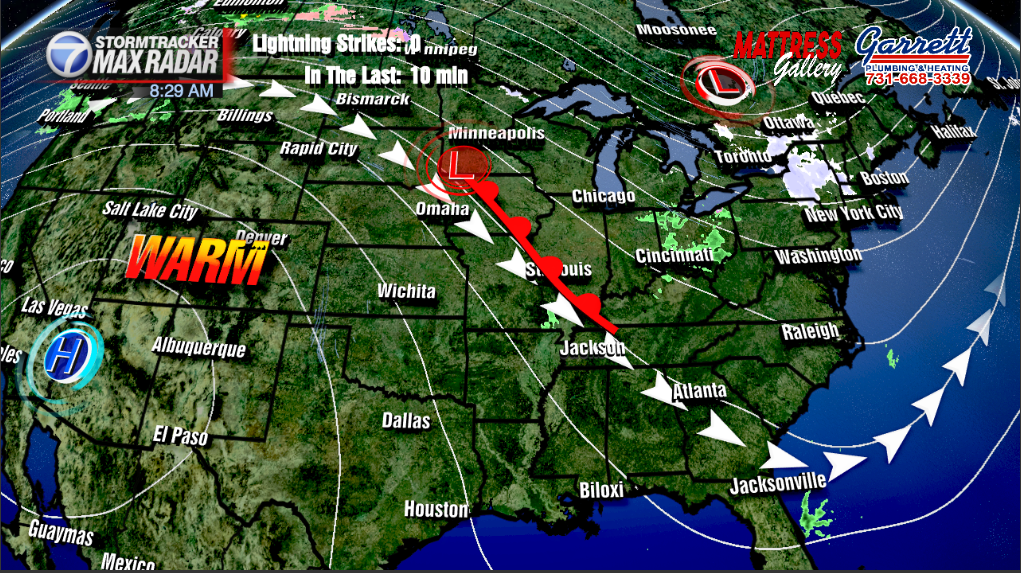
After a very active pattern early in the week, things will be mellowing out for the weekend with some well above average temperatures coming in for the entire weekend. Rain chances look low for the foreseeable future due to a powerful high pressure system over the Desert Southwest. We have the forecast details all right here.
Today:
Thursday will be a mild day with temperatures in the mid to upper 70s region-wide. The heat dome over the Southwest will also curb much of the humidity for us here in the Mid-South. Winds will be light out of the south, which will aid in forcing temperatures to climb. We’re expecting temperatures to top out at around 77 degrees. As we head into the evening, skies will remain mostly clear with a breeze out of the south.

Friday:
Well above average temperatures will begin to move in for the first day of Spring. We aren’t necessarily expecting the record high to fall on Friday, but it is possibly going to be challenged. Right now, we have the forecast high for Friday at 80 degrees which would be 5 degrees short of the record. Winds will still be out of the south, which again will aid climbing temperatures. Temperatures will only drop to about 55-60 degrees. These higher lows will allow for temperatures to soar heading into the weekend.
Saturday:
Saturday is where we begin to see record challenging heat move into the region. Winds will still be light out of the south, but we can start to expect records to either be broken or tied. As of today, we have Saturday forecast to tie the record at 84 degrees. Skies will remain clear all day and even into the evening and overnight hours.
Sunday:
Sunday could potentially be one of the warmest days of Spring on only the third day of the season. Not only could Jackson see the record for Sunday broken, we could also see the highest temperature ever recorded in the month of March tied at the current forecast of 87 degrees. Fortunately for those who may not be ready for upper-80s, a cold front will move through the region Sunday night bringing some light showers north of I-40. Temps will reset to start next week.
Final Thoughts:

Perhaps the best part of having a heat dome over the Southwest is the impact such a system has on severe weather. Our chances for severe weather during the presence of this ridge are slim to none. Also, heat domes tend to last somewhere in the range of weeks rather than days.