Rain Chances Back Thursday Night, Rain Likely on Saturday, Cooler on Easter!
WBBJ 7 Forecast Update
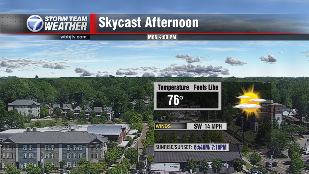
WBBJ 7 Forecast Update:
Most of West Tennessee will be dry tonight and again on Wednesday. Some showers and weak storms chances could move in late Thursday into Friday but the most of us will stay dry until Saturday. Rain and some storms are looking likely in the evening hours on Saturday, but the rain should clear out by Sunday morning. The front coming in on Saturday though will cool things down from the mid 80s to the low 60s on Easter. Catch the latest on the front as well as storm chances in your area coming up here.

THIS WEEK:
Tuesday was another warm day with highs again in the low 80s. Some mid 80s showed up near the Bootheel of Missouri but we fell short of any record highs on Tuesday. When we get the official report, March may end up being the hottest one on record for us in Jackson; a top 5 is almost a guarantee as of now. We saw partly cloudy skies and it was quite breezy most of the day as well with gusts up to 30mph in the afternoon with sustained winds as high as 15-20mph. Tuesday night lows will again fall to the mid 60s. We are not expecting rain on Tuesday.

Rain chances are low on Wednesday and will be increasing late Thursday and into Friday as well. Chances are not great, but 30-40% of us will see something towards the back half of the work week. A front sitting to the north will slowly drop southward, and with the warm and humid weather, a handful of pop ups showers or weak storms will try to develop with Thursday night into Friday morning being the most likely time during the work week. Do not count on the rain as most of us will miss out until the weekend. Highs will hit the mid 80s again under partly cloudy skies on Wednesday. It will be a bit breezy again and overnight lows will stay in the mid 60s to start our Thursday.

Rain chances are in the forecast for Thursday and Friday, but chances are not great. Highs will remain in the low to mid 80s to wrap up the work week and head into the weekend. The winds will remain out of the south and be a tad breezy at times. Skies will be partly cloudy in general and it will be somewhat humid as well. Both nights expect temperatures to fall into the low to mid 60s.

EASTER WEEKEND:
Changes in the weather are coming this weekend as the stalled out front to the north will finally get enough push from the north to pass south of us. As the front moves through, a round of showers and storms is expected. Some severe weather concerns cannot be ruled out yet, so we will need to keep a close eye on the timing of the system as that will play a big factor in the severity of the storms that may develop. As of now, Saturday evening into Sunday morning appears to be the most likely time to be impacted with showers and storms.

Highs on Saturday will reach the low 80s before the clouds and showers move in. Expect a breezy day with the winds changing from the south to the northwest Saturday night. Saturday night lows will fall to the upper 40s before we kick off your Easter Sunday. Highs on Easter are forecast to only reach the mid 60s. There could be some sunshine returning late in the day on Sunday but clouds are likely and maybe even some showers still in the morning for Sunday church. Please keep an eye on the forecast this week so you know what to expect and how to dress this weekend. Sunday night lows will fall down to around 40° but a frost of a freeze look unlikely at this time.
Storm Team Chief Meteorologist
Joel Barnes
Facebook: @JoelBarnesWeather
Twitter: @JoelBarnes13
Instagram: @joelbarnes13