Sun/Cloud Mix And A Second Cold Front
Weather Update: Monday, April 6 —
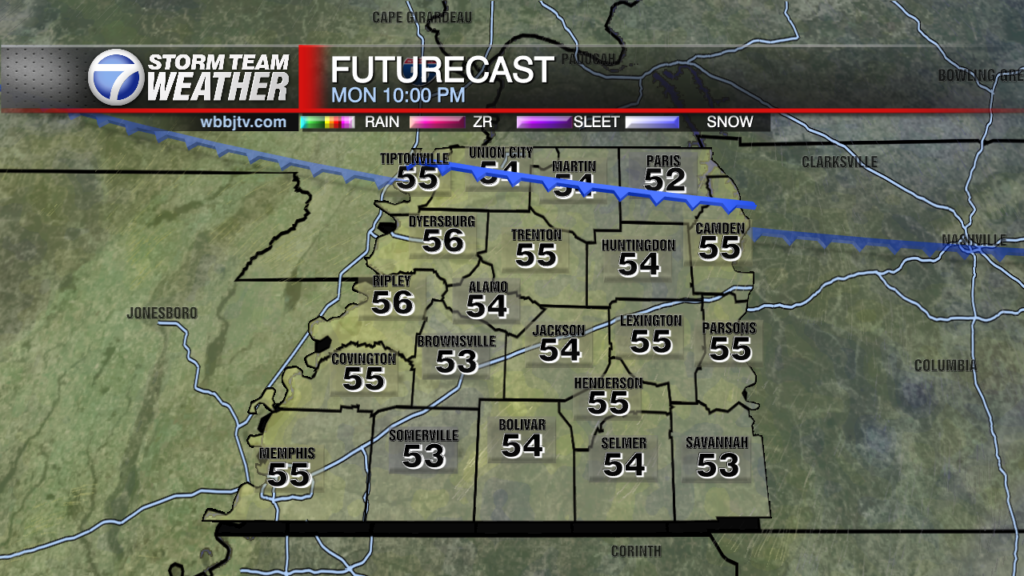
Good Morning West Tennessee. A rather chilly start to the morning with low temps in the mid to upper 30s. I know its cold, but that’s not far from average. Temps will be slow to climb, but we’ll gradually make it back to 60°F by lunch time. Winds will be fairly light north at 3-6 mph or so. we’ll briefly top out around 70°F today. There is however another cold front that will be sneaking south from the Midwest today, it will gradually expand south as the parent upper trough amplifies in response to a mid-level shortwave moving from around Omaha, NE -> Peoria-> Indianapolis, IN. surface front will be around the Ohio River by 3-4:00 PM dropping into NW Tennessee by 9-10:00 PM, should be roughly along the US Hwy 64 corridor by 5:00 AM. The front won’t bring any precipitation with it, but it will mute the warming trend a bit, Tuesday High ~68°F. Most noticeable on Wednesday morning when low temps will dip into the upper 30s again.

Storm Team Meteorologist
Moe Shamell
Facebook: www.facebook.com/mshamellwbbj
Twitter/X: @WBBJ7Moe
Instagram: @moeshamell