Great Weather All Week, Warmer this Weekend, Rain/Storms Early Next Week?
WBBJ 7 Forecast Update
WBBJ 7 Forecast Update:
It has been another fantastic day for us here in West Tennessee on Tuesday and even nicer weather is coming for the rest of the week. Highs will make it up to near 80° the next 3 days and highs will no doubt be in the 80s this weekend. The humidity will increase a bit into the weekend and some clouds will move back in on Sunday, but rain showers are not expected to return until early next week. There could be some stronger storms that we will need to keep an eye on but a freeze or frost is nowhere to be seen in the forecast so feel free to plant away! Catch the full forecast coming up here.

THIS WEEK:
Well so far this April has been nothing like the April we had in 2025 and that is for the most part great news. There are no severe storms in the forecast this week and in fact, rain chances are not expected back until next week. The week will start out a little cool, but the heat will be returning just in time for the weekend. It looks like we have seen our last frost or freeze so go ahead and plant, and get your garden going this week or weekend if you haven’t done so yet!

Sunny skies dominated the weather on Tuesday here in West Tennessee. Highs made it up in the low to mid 70s again the winds came out of the northeast. The winds could shift to the south overnight into Wednesday morning. Tuesday night lows will again fall into the mid to upper 40s. There is no rain in the forecast in the middle of the week. We could see a few more clouds on Wednesday as the stalled out front will push back to the north of us starting a warming trend.

Highs on Wednesday and Thursday will reach the upper 70s but we should fall just short of 80°. We will see more sun than clouds during the back half of the work week but more clouds than we will see during the beginning of the week. Overnight lows will fall to mid 50s later in the week before only falling to the upper 50s by the end of the work week and into the start of the weekend when the humidity will begin to climb. The winds will stay out of the south on Friday and highs should crack the 80° as we wrap up the work week on Friday.

THIS WEEKEND:
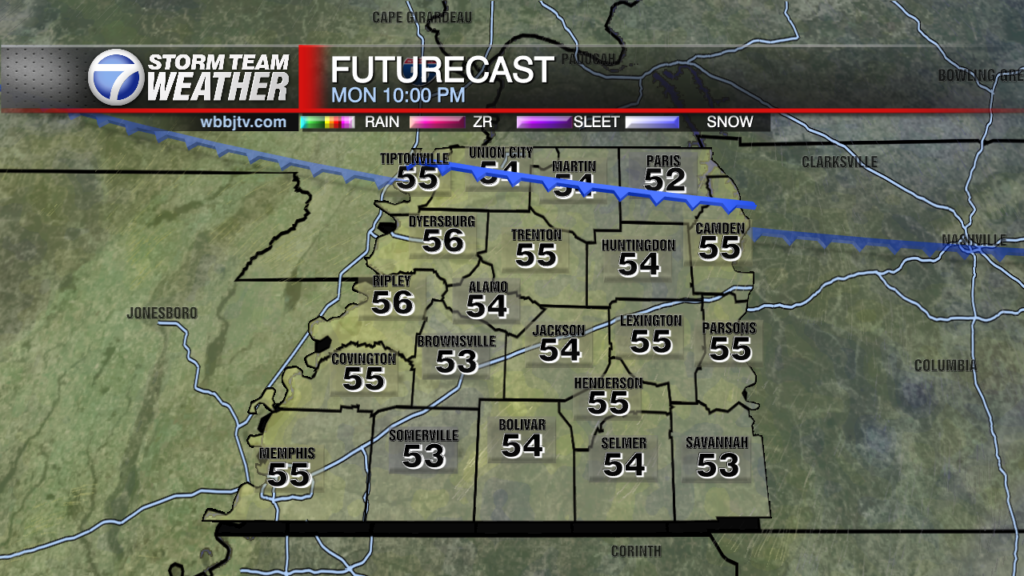
Take advantage of the weekend weather and make some outdoor plans. The weather looks like it is going to be great all weekend long. Highs will reach the mid 80s both days. The humidity will climb as the weekend goes on and so will the overnight lows. Saturday night we will fall down to around 60° and Sunday night lows will only dip into the mid 60s. Expect more clouds on Sunday that Saturday but both days are going to be really nice. If you haven’t planted yet, we are going to give you the green light as it appears any chance at a frost or freeze seems unlikely as of now. The next chance for rain is coming early next week and some storms could be coming back as well. But no rain is forecast this week or this weekend.

Storm Team Chief Meteorologist
Joel Barnes
Facebook: @JoelBarnesWeather
Twitter: @JoelBarnes13
Instagram: @joelbarnes13