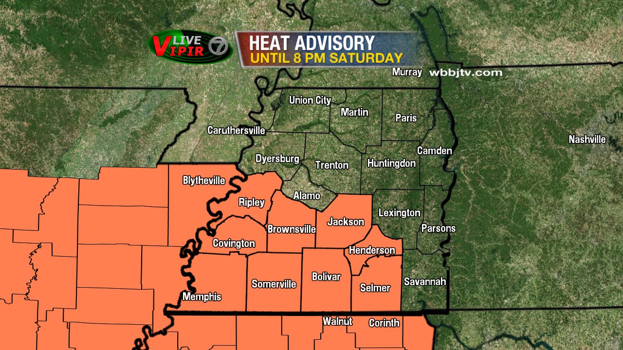
Scattered Storms Start the Weekend
[gtxvideo vid=”luQdAQdD” playlist=”” pid=”wMQlYtLM” thumb=”http://player.gtxcel.com/thumbs/luQdAQdD-120.jpg?cachebust=1470457567509″ vtitle=”Weathercast 10pm.flv”]
Weather Update – 10:30 p.m. Friday
Stray storms will be possible overnight into early Saturday morning as skies become mostly cloudy. Temperatures may only drop to the middle and upper 70s as a result. The cold front will continue to move through the area over the weekend with drier and *slightly* cooler weather in store for West Tennessee early next week.
THIS WEEKEND
The cold front will continue to approach the region Saturday with scattered showers and thunderstorms possible from the morning through the afternoon and into the evening. Nearly a half inch of rain is possible with the scattered nature of the rain likely resulting in some areas getting more than others. High temperatures on Saturday are forecast for the upper 80s and lower 90s.
On Sunday, drier weather is expected for West Tennessee as high pressure builds in. The air will be *slightly* cooler and less humid with highs in the middle to upper 80s under partly cloudy to mostly sunny skies. There’s still a slight chance for scattered showers and thunderstorms but it appears that most of West Tennessee will remain dry.
NEXT WEEK
Mainly dry weather will continue into Monday but by Tuesday, the extreme heat will start to return with a chance for scattered showers and thunderstorms. Stay with the VIPIR 7 Storm Team for the latest forecast!
Have a wonderful weekend!
Tom Meiners
Storm Team 7 Chief Meteorologist, CBM
Twitter – @WBBJ7TomMeiners
Facebook – facebook.com/WBBJ.tom.meiners
Email – tmeiners@wbbjtv.com