Few Showers Southeast of Jackson Saturday, Nice on Sunday
WBBJ 7 Forecast Update
WBBJ 7 Forecast Update:
A dense fog advisory has been issued for all of West Tennessee through Saturday morning. Very high humidity and light winds have allowed fog to develop across the region tonight. A cold front will pass overnight ushering in some drier weather that should clear the fog overnight.

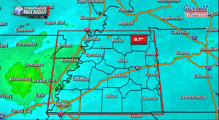
Most of West Tennessee picked up around 1/2″ of rain Thursday night and a few places even saw over an inch. The system has stalled out and could bring a few showers back to areas southeast of Jackson on Saturday. We should all be dry and mostly sunny on Sunday. We will have your complete weekend forecast including a look into a cold front coming next week, all right here.
TONIGHT:
The winds remained gusty Friday morning and came out of the southwest all day but will change direction overnight back to the north behind the front and weaken as the night goes on. Rain showers impacted most of West Tennessee early this morning but moved out quickly. Friday was a warm and slightly humid day with highs reaching the low to mid 60s. Friday night lows will fall down to the mid 40s to kick off your weekend. Skies will remain mostly cloudy tonight.

THE WEEKEND:
Friday’s front will stall out into the weekend and could bring some showers to areas southeast of Jackson on Saturday. But overall, Saturday looks to be mostly dry, especially for places north and west of Jackson. The winds will come out of the north on Saturday but transition to the southwest on Sunday as an area of high pressure will move in from the south. The area of high pressure will cut off an approaching cold front from the west.

Highs will make it up to around 60° and morning lows will hang around the mid 40s both mornings but may drop down to around 40° late Sunday night. Chances for rain on Saturday only sit at 30% and rain chances on Sunday are 10% for areas northeast of Madison county. We should see more sunshine on Sunday than on Saturday when we are expecting mostly cloudy skies.

NEXT WEEK:
Next week looks to start out quite normal for the first week of December. Highs will make it up to the mid to upper 50s on Monday and likely be warmer on Tuesday. Morning lows will drop down to around 40° late Sunday night into Monday morning and fall to the upper 30s Monday night. Skies will be sunny on Monday but a few more clouds should return by Tuesday as a weak front will pass late in the day. The front on the way for Tuesday doesn’t look very impressive as of now but the timing and expected impacts from that system are still trying to be determined in the 7 Storm Team Weather Center. Rain chances will look to stay away for most of the week. Temperatures will cool down a bit during the middle of the week but will look to warm back up above normal conditions again during the end of the work week with southerly winds returning by Thursday. The next shot for rain looks to be shaping up on Friday for most of West Tennessee.

FINAL THOUGHT:
Tuesday was the coldest day in Jackson since last winter (March 17th) and we saw another cold start to our Wednesday. Warmer weather returned in the middle of the week and will last into the weekend. Some well needed rain came Thursday night and lingered into Friday morning. We will pick up another shot for rain for some of us this weekend. We really need the rain as severe drought conditions still impact most of West Tennessee. Stay with WBBJ this week as the systems get closer just in case we see a potential thunderstorm situation shows up with the rain.
For tips on preparing for the storms, click here. To download the WBBJ 7 Weather app, click here.
Storm Team Chief Meteorologist
Joel Barnes
Facebook: @JoelBarnesWeather
Twitter: @JoelBarnes13
Instagram: @joelbarnes13


