National Weather Service Determines Saturday’s Tornado An EF-1
Monday Evening Weather Update
Weather Update Monday, December 11th, 2023 7:53 PM.
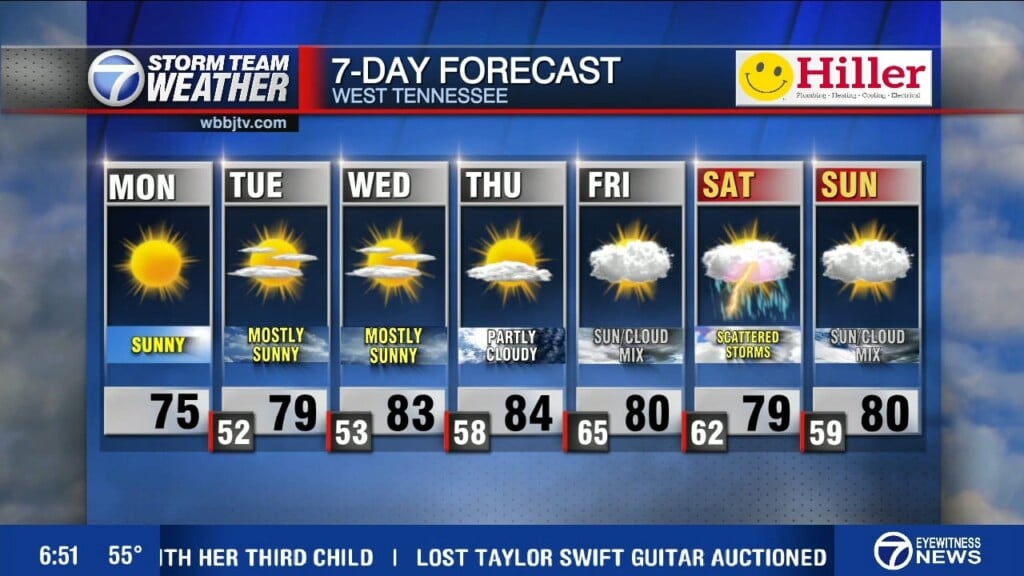
A quiet weather pattern the next few days as strong high pressure will build into the area. Temperatures will gradually warm into the week ahead with slight rain chances the end of the week.
The latest survey is in concerning the tornado that moved through the area over the weekend. Here is the latest on the path and track of the tornado.
At 11:52 Saturday morning, An EF1 tornado touched down near Yorkville and continued pushing to the northeast towards Rutherford.
The tornado moved over 45 west into the Rutherford area with winds of up to 110 mph. The width of the path was 600 yards wide or about 5 football fields wide.
The tornado caused damage to roofs and snapped several large trees in the process. It was on the ground for a little over 25 miles, continuing on to the northeast towards highway 45 east. It crossed over 45 east between Sharon and Greenfield continuing to snap trees and causing 3 injuries.
Finally, It moved towards on towards highway 22 between Dresden and Gleason where it lifted just on the on the other side of 22.
This was a lower end tornado on the EF scale which determines the power of the wind within the tornado. Although it was an EF 1, It was on the higher end of the EF 1 scale with 110 mph winds. The path width was quite large as well and the fact it stayed on the ground for over 25 miles made it an even more dangerous tornado. We usually think of EF 1 tornados as being smaller in width than more powerful tornados (EF 2, 3, 4 or 5’s) but its important to note that we can sometimes see very large paths for tornado, even if it is lower powered winds within the path. This is what made this lower end tornado so damaging. At other times we can see a more narrow tornado but greater winds in that tornado. The EF scale ranks the power of the winds in the tornado and not the size.
The good news in that the weather looks fairly quiet this week ahead to allow cleanup crews to continue.
TONIGHT:
Mostly clear with lows around 30 and light south winds 5 mph.
TOMORROW:
Mostly sunny skies with a little warmer by afternoon and highs topping out around 56-58. Light southwest winds around 5 to 10 mph.
We’ll continue with a gradually warming trend and a weak disturbance should bring a partly to mostly cloudy day on Wednesday. The clouds will keep our high temperatures from going and higher (mid 50’s) on Wednesday but we’ll return to mostly sunny skies on Thursday as the highs top out close to 60 degrees! We’ll start off mostly clear on Friday but clouds will increase by late day as the next system moves closer to us. Unlike this past weekend, It will dive much further south and we want have the extreme temperatures and humidity we had this weekend meaning the storms will stay south of the area. We may get a stray shower on the edge of the northside of the system as it passes by us to the south on Saturday night and Sunday but most shouldn’t see any rain.
Stay with WBBJ 7 online and on-air for the latest as we get closer towards the holidays and into the week ahead. We’ll continue to update as we move along.
Brian Davis
Storm Team 7 Meteorologist
Twitter – @Brian7wbbj
Facebook – Briandaviswbbj
Email – Badavis@wbbjtv.com


