Rain Ending And Turning Colder
Saturday Forecast Update March 9th
WBBJ 7 Forecast Update
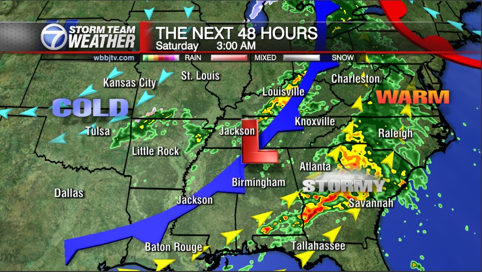
Rain off and on through early afternoon Saturday but clearing out late evening and turning colder. Many folks in West Tennessee will be near freezing Sunday morning. Find out if we will be dropping below freezing this weekend and I will let you know when the cooler temperatures will be moving out right here.
With as warm as temperatures have been the last few weeks, people are starting to get that itch to start planting, that is NOT a good idea. We still have a couple weeks of winter left and the odds of having another frost is almost 100% and the odds of us having another freeze is also highly likely. We usually do not see our last freeze until the beginning of April and our last frost during the middle of April. If we didn’t see another freeze or frost, that would be record smashing by almost 6 weeks in both cases, so that isn’t going to happen. We will see a couple more cold pushes before Spring officially kicks off so please hold off on those temptations for now!

THE WEEKEND AHEAD:
Rain showers are likely to continue Saturday morning before clearing out as the day goes on. We will still see mostly cloudy skies on Saturday but they should clear out Saturday night making for a mostly sunny and dry day on Sunday.

Highs on Saturday will climb up to only the mid 50s and Saturday night lows will fall down to the mid to upper 30s. We are expecting a cool day again on Sunday with highs only reaching the mid 50s. We will fall into the 30s both weekend mornings with Sunday night lows down in the mid 30s, leading to a shot for some frost both mornings as well.

The winds will change from the west to the northwest as the weekend progresses. Plenty of sunshine is in the forecast as we start the following work week.

NEXT WEEK:
Next week is going to start out really nice with mostly sunny skies. The winds will come out of the south most of the week and that will start warming us back up. Each day through Thursday next week will be warmer than the previous day. Highs on Monday will be in the mid 60, upper 60s on Tuesday, low 70s on Wednesday and mid 70s on Thursday. Clouds will increase in the middle of the week and the rain showers and storms will look to hold off until late Thursday or Friday next week. We cannot rule out a brief showers or two on Wednesday but most of us will see any precipitation until Friday. Rain chances are 20% on Wednesday, 30% on Thursday and 60% on Friday.
FINAL THOUGHT:
Long term forecast models are suggesting a warm start to March. Spring is less than 2 weeks away and starts on March 19th this year. As the warmer weather moves in, we might be transitioning to more of a severe weather threat than a cold and snowy one for the last couple weeks of Winter. There still will be some frost and likely another freeze this season, so hold off on planting for a few more weeks at least. More chances exist in the forecast later this week as well. Next weekend looks to be much cooler than the previous one with near normal temperatures coming.
For tips on preparing for the storms, click here. To download the WBBJ 7 Weather app, click here.
Brian Davis
Storm Team 7 Meteorologist
Twitter – @Brian7wbbj
Facebook – Briandaviswbbj
Email – Badavis@wbbjtv.com


