Mid Week Warm Up Coming, Northern Lights Chances Next Few Nights!
WBBJ 7 Forecast Update
WBBJ 7 Forecast Update:
After a very cold start down into the low 20s, we managed to reach the mid 50s this afternoon. We warmed up due to some breezy southwest winds today that will be lingering tonight. The winds will weaken and come out of the west on Wednesday but sunny skies will be sticking around as well. More clouds are coming on Thursday and mid 70s will also return by the end of the work week. The next cold front is coming this weekend and a storm threat could be coming early next week too. Also, the northern lights might be visible over the next 48 hours in West Tennessee as well and we will tell you why and when the best time is to see them coming up here.

THIS WEEK:
Most of us struggled to even hit 40° on Monday and it felt even cooler all day due to that stiff northwest breeze. The winds weakened Monday night and turned up calm for a few hours before picking back up again around sunrise. As the winds turned up calm and the skies cleared out, we bottomed out into the low 20s, near record lows from the cold spell. After a cold start to our Veteran’s day, we did warm up into the mid 50s by the afternoon.

The reason we warmed up on Tuesday is the cold front that passed was pushed back up to the north and high pressure built in over East Texas. This ushered in southwest winds that mixed in some warmer and more humid air with it. The winds were a tad breezy between 10-15 mph out of the southwest. Skies will be mostly clear and Tuesday night lows will only drop to the low 40s due to a light southwest breeze hanging around all night long.

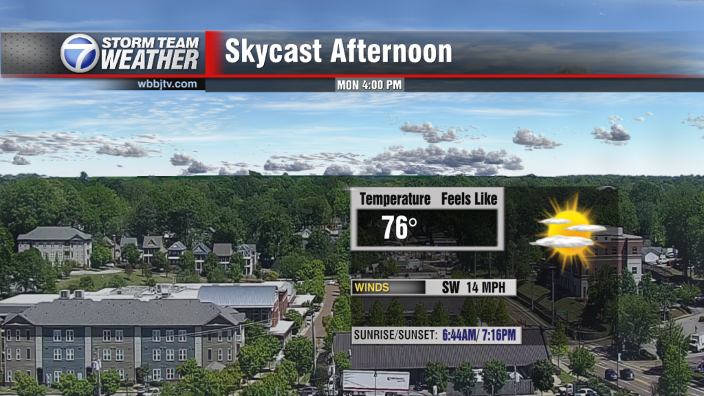
Westerly winds will hang around during the day on Wednesday and that will continue to warm things up across the Mid South. Highs on Wednesday will reach the mid to upper 60s, back up above normal for the month of November. Skies will be sunny on Wednesday as an area of high pressure will continue to control our weather in West Tennessee. Wednesday night lows will fall down to the upper 30s due to calm winds being likely to start our Thursday. Thursday will be another mostly sunny day and will be really nice with calm winds expected as the area of high pressure will be sitting on top of us. Highs will reach up to around 70° and Thursday night lows will fall down to around 50° as a southwest breeze will return Thursday night into Friday morning.

Friday is going to be a very warm day with highs reaching the mid 70s. The winds will be a bit breezy and come out of the southwest. We should still see mostly sunny skies but some clouds may try to move back in Friday night into the upcoming weekend. The humidity will climb some during the day as well and that will keep overnight lows in the mid 50s as we head into the upcoming weekend.
THE WEEKEND:
The weekend weather looks decent but there will be a front passing sometime late Saturday or early Sunday morning. The front looks pretty weak and a mostly dry front although we cannot rule out a couple showers late Saturday night into Sunday morning. The winds will come out of the southwest on Saturday but turn to the northwest as the front passes and into the day on Sunday. Highs will reach the mid 70s on Saturday and still reach around 70° on Sunday. Saturday night lows will fall down to the upper 50s but we will fall to the mid 40s on Sunday night. Expect a mix of sun and clouds this weekend. There will be better chances for rain early next week as a low pressure system looks on track to move through. Some storms could be returning early next week as well.
Storm Team Chief Meteorologist
Joel Barnes
Facebook: @JoelBarnesWeather
Twitter: @JoelBarnes13
Instagram: @joelbarnes13