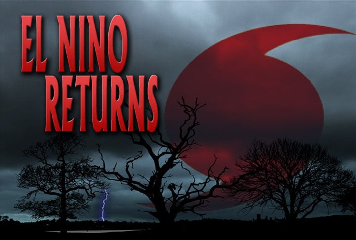
The Return of El Nino
EAST JACKSON — Not too long ago, we experienced our first threat of severe weather and a disruptive winter storm that dropped more than 3 inches of snow and 6 inches of sleet in some areas. So what‘s up with this crazy weather pattern and could we expect a similar pattern next year? “It was crazy all that snow and ice. And it was so cold then it got up in like the 60s and the 70s. Its like what is going on.” Jackson resident Linda Kilprtirck, says. This year by all accounts, we experienced a pretty bad winter. We had record breaking cold, a wicked ice storm, and even our first taste of damaging severe weather. “Well I don’t like it but it seems like we just bounce around like a yo-yo around here so. I just kind of take it in stride. You never know what to wear.” Jackson resident Candi Stricklin, says. Next winter should be different because El Nino returns. El Nino is not a hurricane or a type of storm. It’s simply a weather pattern where warmer ocean temperatures across the Pacific alter the global weather pattern including right here in West Tennessee. “Most pronounced effects of El Nino occur during the winter time. So this is something that were looking to develop this summer and getting into this next winter. With it you can see definite effects when it comes to precipitation.” Ben Schott, Warning Coordinator Meteorologist at NWS Memphis, said. The good news is that hurricane season won’t be as strong and more above average temperatures can be expected across the region. The bad news is there won’t be as much rain which could cause drought conditions and higher food prices right here in West Tennessee. Forecasters say that this is a broad prediction to what will really happen. So if you like the warmer weather and dislike the snow, this will be something you should continue to watch as we get into Summer and Fall.