Cloudy And Windy With Snow Flurries Today
Weather Update – 12:40 p.m. – Monday, November 30th –
Colder air on the way for our Monday as temperatures will struggle to get into the upper 30’s. Winds will gust to 30 mph at times making the windchill into the lower 20’s at times throughout today. Snow flurries will also be likely a few times into the afternoon with no accumulation.

We’ll only warm up a few degrees Monday, with the coldest weather of the Fall season expected. Highs will range from mid to upper 30s. On top of that with winds as highs as 20 miles per hour expected through the afternoon, it will be a cold and blustery day! Cloud cover also lingers a bit, but it will slowly clear out.

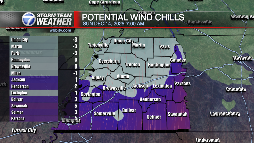
Wind chills through tomorrow and even into Tuesday indicate it could feel at least ten degrees colder Monday afternoon, with wind chill values possibly in the teens Tuesday morning. We’ll slowly warm up into the week, but temperatures will still be well below average.
The warmest point of the week will be around mid-week with temperatures reaching the low 50s, most days though will be in the 40s as a colder than average trend is expected entering the beginning of December. Stay tuned to WBBJ 7 Eyewitness News for the latest forecast and for more updates keep up with Storm Team Weather online too.
Brian Davis
Storm Team 7 Meteorologist
Twitter – @Brian7wbbj
Facebook – Briandaviswbbj
Email – Badavis@wbbjtv.com