Slight Chance Of Showers Today With Sunshine Ahead For The Weekend
Friday, March 5th, 2021

After one of the nicest days of 2021 so far, clouds will move back in through today. It will be cooler as well and a few sprinkles could show up. Skies will clear out for the weekend but northerly winds will keep up us in the 50s on Saturday but 60s could return for Sunday. Next week looks warmer and more humid, but does that mean showers and storms will be returning? Find out right here.
TODAY:
Some chances for light rain will return on Friday as the next system will drift through West Tennessee. With a very dry airmass over west Tennessee, it appears that rain chances will be minimal and no storms are currently in the forecast. The most likely place to see some light rain will be areas southwest of Jackson. Highs will drop to the mid 50s behind the front and winds will come out of the northeast by the afternoon. Friday night lows will move back down into the mid 30s.

THE WEEKEND:
For the first time in few weeks nice weather looks to be heading our way for the weekend. High will reach the mid 50s and Saturday and low 60s on Sunday. It will be a bit chilly though on Sunday morning dropping into the low to mid 30s. Each day should be packed full of sunshine and the winds will start to come out of the southeast as the weekend goes on. Rain is not expected during the entire weekend, so make some outdoor plans.
NEXT WEEK:
Very warm and nice weather is expected for the beginning of the upcoming work week. Highs will be in the mid 60s with plenty of sunshine for both Monday and Tuesday. Some clouds could move in late Tuesday night and a chance for showers and storms could return by next Wednesday for most of us. Highs will be near 70° for Wednesday and Thursday and the humidity will increase keeping our overnight lows into the 50s during the middle of the week. It will also be quite breezy at times on Wednesday and Thursday with the winds coming out of the south.
FLOOD WARNINGS:
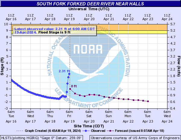
Many rivers and streams will continue to run high this week. The water levels are expected to be going down though this week due to the fact there is very little rain in the forecast. Here is a look at Obion River near Obion, the Forked Deer near Halls and the Tennessee River near Savannah water level forecast this week. All three rivers are currently under flood warnings issued from the National Weather Service out of Memphis. The flood waters have dropped below flood warning criteria for Martin, Jackson and Perryville.
OBION RIVER

FORKED DEER RIVER
TENNESSEE RIVER:

Storm Team Chief Meteorologist
Joel Barnes
Facebook: www.facebook.com/joelbarnesweather
Twitter: www.twitter.com/joelbarnes13
Instagram: @joelbarnes13


