Rain Returns Tuesday Morning & Storms Could Develop on Thursday
Monday Night Forecast Update
Monday Night Forecast for March 22nd:
Clouds will move in tonight but it will be warm and breezy. Rain and weak storms will return early Tuesday, but should clear out into the evening. Dry weather is expected for Wednesday but storm chances will return again early Thursday and a severe threat could develop Thursday evening. Catch the latest details and your full weather forecast right here.

TONIGHT:
Clouds will move on in overnight but the rain should stay away until the sun comes back up. It will remain breezy at times with the winds out of the southeast. Overnight lows will drop down into the mid 50s.
TUESDAY:
Rain showers and some weak storms will return in the morning. The showers should clear out into the afternoon. Skies will be cloudy early in the day but should break up as the evening goes on. Highs will reach the mid 60s and it will be quite windy at times. Sustained winds of 15-20 mph with gusts up to 30 mph will be possible. Chances for rain is around 90%.
WEDNESDAY:
The first half of the day looks really nice. Expect mostly sunny skies in the morning and highs to reach the mid 70s by the afternoon. Winds will be light for the most part out of the south. Showers and storms could return overnight into Thursday morning.
THURSDAY:
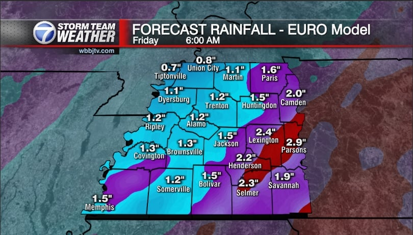
Rain showers and weak storms are expected for the first part of the day. Expect cloudy to mostly cloudy skies all day. Winds will be breezy at times and come out of the south. Highs should reach the low 70s in the afternoon. Some stronger storms and possibly some severe weather could show up Thursday during the evening time frame. The timing, location and strength of these storms is evolving and we hope to have a better idea as the system gets closer.
FRIDAY:
Friday will be a bit cooler behind the cold front and highs will make it into the mid 60s. But we should see plenty of sunshine and the winds are expected to come out of the west. It should be a dry finish to the work week and start to our weekend.
THE WEEKEND:
Showers are possible Saturday night into Sunday morning according to some of the forecast models. We should see plenty of sunshine as well at times this weekend. Highs will climb into the mid 70s on Saturday but should be about 10° cooler on Sunday behind Saturday nights storm system. Thunderstorms could be possible as the system tracks across West Tennessee but it is too early to tell or have high confidence in the forecast as of now.
FINAL THOUGHT:
We are now officially in Spring and starting to get closer to our peak severe weather season. So you need to stay weather aware to changing weather patterns and monitor the forecasts closely. We got you covered in the WBBJ 7 Storm Team Weather Center as always.
Storm Team Chief Meteorologist
Joel Barnes
Facebook: www.facebook.com/joelbarnesweather
Twitter: www.twitter.com/joelbarnes13
Instagram: @joelbarnes13


