Insane Rain Totals This Week, More Coming this Weekend!
WBBJ 7 Forecast Update
WBBJ 7 Forecast Update:
Locations near Union City saw up to 16″ of rain over the last 48 hours and areas in northern Gibson county saw over 12″. More showers and storms are in the forecast this weekend.

We could see morning showers and evening storms on Saturday and a some potential severe storms late Sunday as the cold front passes. We might get a brief break to kick off next week before another round might target us in the middle of next week as well. Catch the latest on the local flooding scene and more on the timing of the weekend rain and storm chances coming up here.

After picking up very heavy rain overnight that lasted into the morning across West Tennessee on Friday, we are expecting a mostly quiet Friday night. Skies will remain mostly cloudy and the winds will be calm for the most part overnight. A few stray showers cannot be ruled out but some heavier rain could come again this weekend. Flooding could continue to be an issue in areas north and east of Jackson where the heavy rain fell late this week.

TONIGHT:
Highs only reached the mid 80s on Friday due to the morning rain and all day cloud cover. The winds came out of the east but will return to the south for the weekend. Friday night lows will fall down to the mid 70s again as it will remain quite humid overnight.

THE WEEKEND:
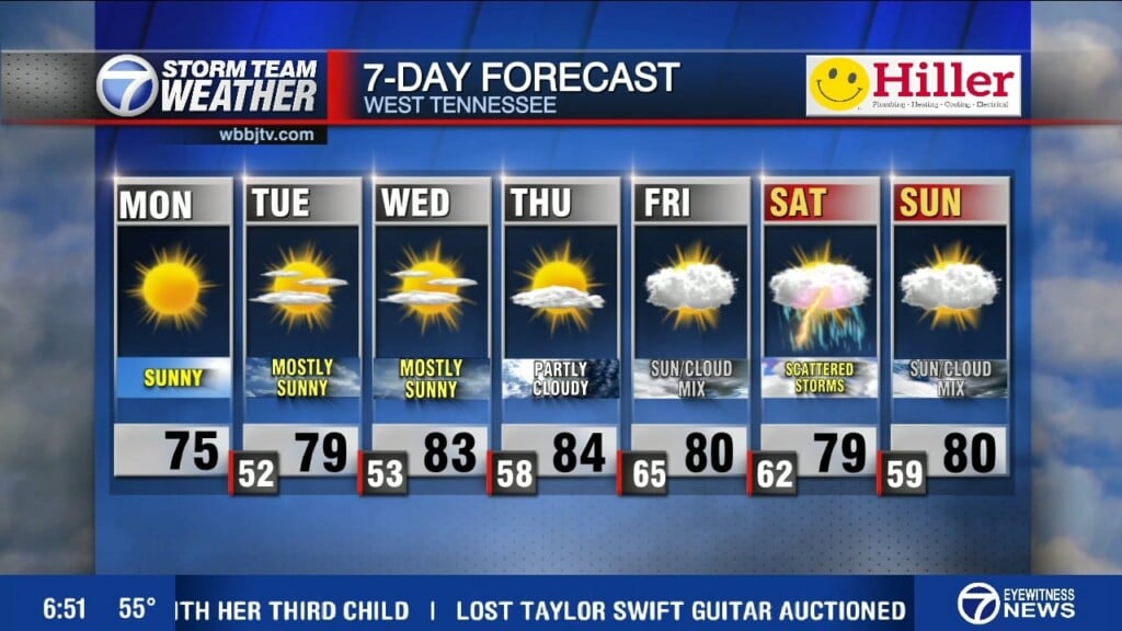
The forecast scenario that makes the most sense as of now shows another front drifting back through West Tennessee Saturday and stalling out again. The front will bring in another shot for showers and storms. Saturday morning will bring a round of showers and potential storms chances could spark up Saturday evening as the warm sector returns to the our area. As the cold front moves through Sunday evening, a few severe storms cannot be ruled out this weekend either.

The winds this weekend will come out of the south on Saturday, out of the southwest of Sunday and back to the northwest into the day on Monday. Skies will be partly cloudy in general this weekend but will be mostly sunny and even mostly cloudy at times when the front passes. Highs on Saturday will reach the low to mid 90s depending on who encounters the rain early in the day. Sunday will be a little cooler with highs reaching the low 90s but that also depends on the timing on the incoming cold front. There is a chance we hit the mid 90s on Sunday if the skies clear out into the afternoon. The greatest chance for storms on Sunday looks to be in the evening or Sunday night. Like this last week, temperatures are forecast to be a little cooler to start next week.
NEXT WEEK:
Temperatures are forecast to cool down a bit as we head into next week on the backside of a weak front. Highs will reach the upper 80s on Monday and cool down to the mid 80s during the middle of the week. Lows will fall to the mid to upper 60s as well during the first half of the week due to the lower humidity from the northwest winds. Some showers look possible early Monday before some drier weather may try to return Monday afternoon and last through Tuesday and into the first half of the day on Wednesday. More showers and storms will look to return late in the day for Wednesday. We cannot rule out rain any day next week as we are expecting to be sitting in a similar weather pattern to the previous couple weeks where we saw a few rounds of showers and storms.
FINAL THOUGHT:
Highs are expected to be quite warm as we wrap up the work week and to kick off the weekend but if we keep the clouds around most of the weekend, that may help to keeps our temperatures down a bit. The rain and storm chances will look to return again early this weekend and that could increase the flooding in some areas that were impacted earlier this week. As of now the severe weather threat appears to be low but some storms are expected on Sunday evening. You need to stay alert to changing weather patterns and monitor the forecasts closely for heat and the potential for some isolated storms this week. We got you covered in the WBBJ 7 Storm Team Weather Center as always.

For tips on preparing for the storms, click here. To download the WBBJ 7 Weather app, click here.
Storm Team Chief Meteorologist
Joel Barnes
Facebook: @JoelBarnesWeather
Twitter: @JoelBarnes13
Instagram: @joelbarnes13


