Scattered Showers Continue into Tuesday
[gtxvideo vid=”VC1bDUaF” playlist=”” pid=”wMQlYtLM” thumb=”http://player.gtxcel.com/thumbs/VC1bDUaF-120.jpg?cachebust=1463458137769″ vtitle=”Weathercast 10PM.flv”]
Weather Update – 11:00 p.m. Monday
Under mostly cloudy skies and light winds, a few showers will linger into the evening across West Tennessee. Most of this rain is going to be light for now but we could see one or two showers become a little on the “heavy” side as moisture increases across the region. Thunderstorms are not likely overnight. Warmer weather will hold off until tomorrow before the front retreats from the area allowing for cooler weather to make a brief return.
TUESDAY
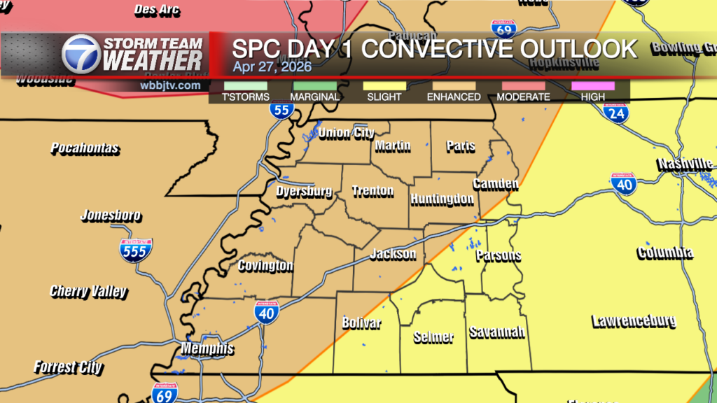
As the warm front starts to leave the region tomorrow, it will be accompanied by breaks of sunshine in parts of West Tennessee. This could help temperatures to get closer to the average high of 80°F for this time of the year. Otherwise, the front should continue at least a 30% chance for rain on Tuesday with scattered showers and thunderstorms possible. The risk for severe weather is very low tomorrow but one or two thunderstorms could develop so be weather-aware if you have an outdoor event planned!
REST OF THE WEEK
Cooler weather briefly returns on Wednesday with cloudy skies early on. As high pressure builds in, clearer skies will develop Wednesday afternoon into Thursday. Temperatures will be warmer on Thursday with an area of low pressure approaching the Mid-South. This will bring us, what appears to be, our most widespread and heaviest rain this week with showers possible from Thursday evening through Friday into Saturday.
Stay with the VIPIR 7 Storm Team for the very latest updates to this forecast.
Tom Meiners
Storm Team 7 Chief Meteorologist, CBM
Twitter – @WBBJ7TomMeiners
Facebook – facebook.com/WBBJ.tom.meiners
Email – tmeiners@wbbjtv.com