Rainy Saturday, Sunny but Chilly Week in West Tennessee
WBBJ 7 Forecast Update
WBBJ 7 Forecast Update:
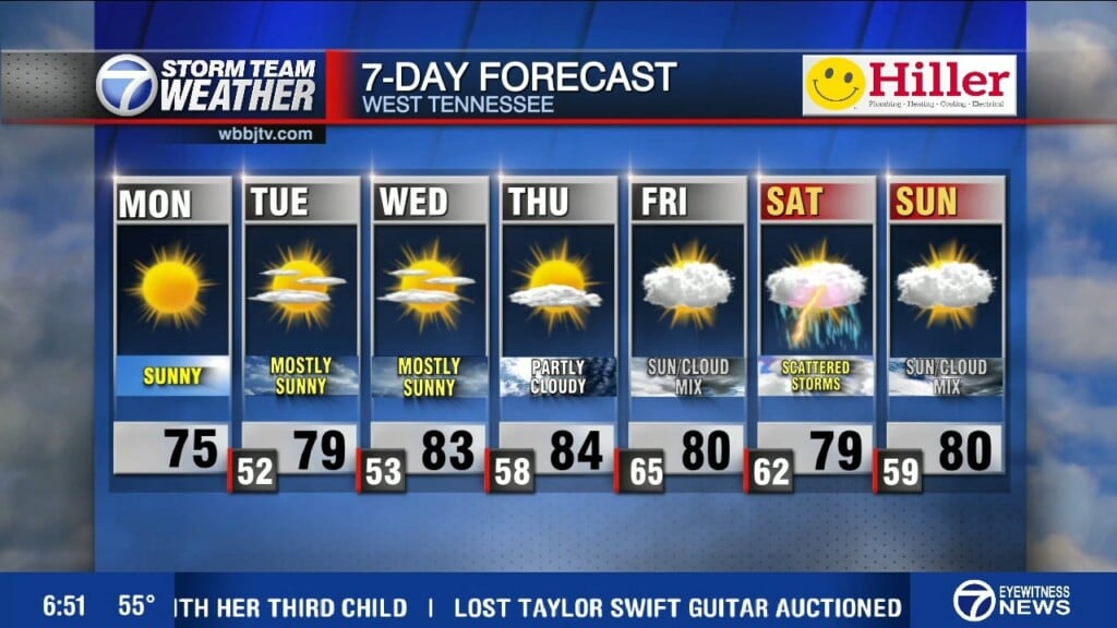
We have some rain coming into West Tennessee on Saturday. Following that system will be a sharp cooldown with morning temps falling into the low to mid-20s by mid-week next week. The cold will not be around for too long, however, the Mid-South will be back into the mid to high-50s by Wednesday. Also a new drought monitor released Thursday night, showing little to no difference for us in West Tennessee, but other parts of the Mid-South had their drought level raised. More details coming up.
TONIGHT:
We have had some seasonally average weather since last Saturday’s severe weather event. Some clouds will start to roll into our area Friday night into Saturday morning as some showers come into West Tennessee ahead of an Alberta Clipper. Behind this cold front lies some of the coldest weather we have seen so far this season, though the skies will be mostly to completely clear behind the front.

THE WEEKEND:
Forecast models are hinting at another system trying to move in early Saturday morning into Sunday morning. Rain will likely be light, but persistent with this system as total accumulations will not exceed half an inch in most places. Big storms or severe weather isn’t expected with this next front. Highs this weekend are only forecast to top out in the mid 40s and morning lows will stick around into the mid 30s.

Once the system moves out of the area on Sunday, clear skies and cooler temperatures will be the forecast for the near future. Though we cannot rule out a spotty shower on Sunday, most of the rain will come on Saturday, mostly in the late morning and early afternoon. The heaviest rainfall will be east of Jackson with the highest totals in Benton, Carroll, Decatur, Henry and Henderson counties. It will intensify once it crosses into Middle Tennessee.

NEXT WEEK:
There will be a sharp cooldown on Monday behind the cold front this weekend with lows falling into the low-20s by Monday night. Expect frost Tuesday and Wednesday morning as both mornings will be brutally cold and as always with sub-freezing temperatures remember to bring in your plants, pets, and people, and protect your pipes. The lows from Wednesday through the remainder of the work week will be into the mid-30s. We shouldn’t dip back below freezing for several days after Tuesday night.
FINAL THOUGHT:
We got enough rain Saturday to not have our drought levels increased, but several surrounding areas have been increased in severity. Northeast Arkansas was raised to a level one drought and much of Northern Mississippi was raised to a level four drought. I don’t expect our drought monitor to change much again for next week, unless Saturday’s system outperforms expectations. As always stay tuned to 7 Eyewitness News to stay up to date on your latest forecast updates.
For tips on preparing for the storms, click here. To download the WBBJ 7 Weather app, click here.
Storm Team 7 Weekend Meteorologist
Jordan Hubbard
Facebook: Meteorologist Jordan Hubbard
Twitter: @Jhub_wx


