Flash Flooding Likely Tonight, Severe Weather is Possible!
Tuesday Night Forecast Update
Tuesday Night Forecast for March 30th:
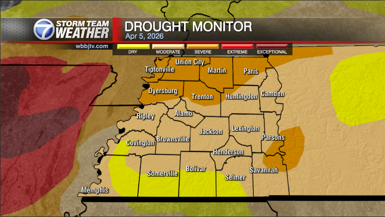
A Flash Flood Watch has been issued tonight for our area with 1-3″ of additional rain will fall tonight adding to swollen creeks, rivers and streams in West Tennessee. Tornadoes are NOT likely tonight, but cannot be ruled out and gusty wind storms are possible overnight as the front comes by. Catch the latest severe weather and flooding details, plus more on when temperatures will possibly be dipping back into the 20s, coming up right here.

TONIGHT:
Some isolated rain showers or pop up storms could develop into the evening hours. Some of the storms could be strong and could turn severe. Although not likely, a few of these evening storms could try to rotate so we will be watching them closely in the Storm Team Weather Center.

Storm chances will increase as the night goes on and gusty wind storms are expected after midnight as the next cold front will track through our area. Winds could gust 60 MPH with these storms, so be sure to stay weather aware Tuesday night.

The threat for tornadoes is NOT as high as it was from the previous 3 storm events but the tornado threat is NOT zero and some gusty winds are looking likely overnight. Hail is not a big threat this go around but some could mix on it with the storms.

WEDNESDAY:
Storms will linger into the early morning hours and some isolated lighter showers and storms will linger from the mid morning to around the noon time frame. The clouds will clear out into the afternoon and we should see plenty of sunshine before sunset. The high temperature is likely to occur around midnight and will be in the mid to upper 50s but the temperature will continue to drop into the morning and stay in the 40s for the majority of the day. Wednesday night we could drop below freezing and the entire region will drop into the 30s, possibly even a few upper 20s the further north you are located in West Tennessee.
THURSDAY/FRIDAY:
Both mornings are expected to be cold with potential temperatures below freezing. Upper 20s and low to mid 30s are expected across the entire region. Morning frost can also be expected both mornings as well so if you have any plants outside or sensitive vegetation do whatever you can to protect them from the upcoming potential freeze heading our way. Highs on Thursday will make it only up to around 50° and Friday highs will climb up to around 60°. Winds will come out of the north on Thursday and east on Friday. Expect sunny skies but it will be brisk in the morning hours.
THE WEEKEND:
Much nicer weather will move in for the weekend with highs reaching the mid to upper 60s for both days. Some low 70s could show up in a few places on Sunday, but a much better chance for the 70s returning will be next Monday. Saturday morning we are likely to dip into the upper 30s and low 40s are expected Sunday morning. We are still likely to see an abundance of sunshine this weekend as well but we will also see a few more clouds then on Thursday and Friday.
FINAL THOUGHT:
We are now officially in Spring and starting to get closer to our peak severe weather season. So you need to stay weather aware to changing weather patterns and monitor the forecasts closely. We got you covered in the WBBJ 7 Storm Team Weather Center as always.

For tips on preparing for the storm, click here. To download the WBBJ 7 Weather app, click here.
Storm Team Chief Meteorologist
Joel Barnes
Facebook: @JoelBarnesWeather
Twitter: @JoelBarnes13
Instagram: @joelbarnes13