Numerous Rounds Of Rain Expected This Week
Weather Update – 7:30 p.m. – Sunday, August 30th –
It’s been quiet for much of our Sunday afternoon. There were a few lingering thunderstorms, but much of the day has been dry after last night’s rain event. Later tonight we will see the return of rain once again, as another disturbance moves through. A front had been stalled right over West Tennessee today. That along with the showers and cloud cover kept us a bit cooler, with a high of 86°F.
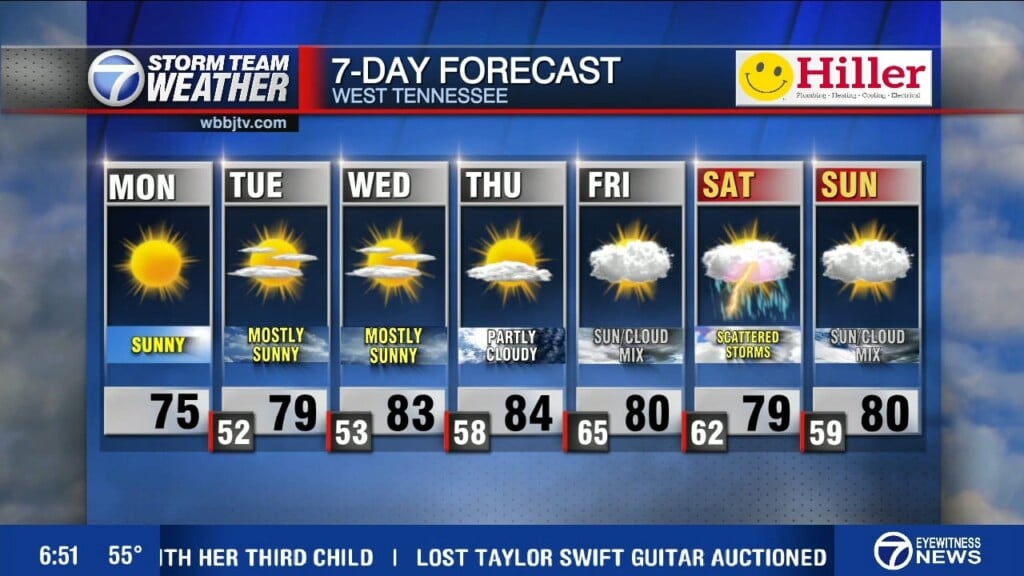
Rain arrives late tonight and lingers into the first half of Monday. There will be a few embedded storms, but with a marginal risk for severe weather expected the chance to see strong storms is low. Highs will be similar to what we saw Sunday. Winds will start to shift from the northwest to a more southwesterly flow, which will be the pattern into mid-week.
A deepening trough out west and an associated cut-off low will slowly push into the Mid-South towards the end of the work week. This change is what brings us the more southwesterly flow and will allow us to see rain chances pretty much everyday this week.
Corallys Ortiz
Storm Team 7 Meteorologist
Twitter – @WBBJ7Corallys
Facebook – facebook.com/corallystv
Email – cortiz@wbbjtv.com


