Latest On Wednesday’s Tornadoes And The Weekend Forecast
Friday April 1st
Friday Morning Forecast Update for April 1st:
Clouds will stick around tonight and clear by tomorrow morning allowing some potential frost to develop across the region. Friday looks mostly sunny, but rain chances return on Saturday. We should warm up back into the 70s for the first half of the next work week, but that will bring in a few more chances for storms as well. We will have all the details of this busy forecast, coming up right here.
TORNADO RECAP FROM WEDNESDAY:


FROST ADVISORY:

THIS MORNING:
Clearing and cold this morning with patchy frost developing. Wind will be light to calm from the northwest around 4 mph.

TODAY:
After a chilly start to the day and some front chances in the morning, Friday looks to be a pretty nice day with highs near 60° and mostly sunny skies during the afternoon. The winds will stay light and continue to come out of the northwest which will keep temperatures below normal for the day. By Friday night, the winds will start to shift back to the southwest allowing lows to stay above frost concerns and upper 30s to low 40s are expected for the start of the weekend.
SATURDAY:
The upcoming weekend looks very similar to the previous weekend with highs in the low to mid 60s on Saturday before another weak, mostly dry front passes by. A few light showers will be possible on Saturday in the late morning and early afternoon as the weak front drifts across the area. The winds will come out of the southwest on Saturday before the front passes. We will see more sun than clouds over the weekend, but as the front passes some clouds should be expected and although we will probably see some rain, storms are not expected. Saturday night lows will fall down to around 40°.
SUNDAY:
Highs on Sunday will try to recover into the mid 60s due to a mostly sunny sky. The winds will stay out of the northeast for the first half of the day before switching to the southwest by Sunday night. Sunday night lows will drop into the low to mid 40s. We will be dry all day on Sunday, making it an overall a decent Spring weekend day.
NEXT WEEK:
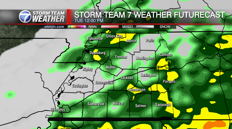
70s are expected to return to West Tennessee as we start the next upcoming work week. Temperatures will stay above normal through Wednesday until the next cold front passes. A storm system is forecast to move through starting Monday night into Tuesday that will bring more rain showers to West Tennessee and could also spark up some storm chances as well. As of now, severe weather looks possible but isn’t a given. Another front will pass through on Wednesday that could also bring a round of rain showers and thunderstorms with it. Monday night lows will drop into the mid 40s, but warm and humid weather will keep Tuesday night lows into the mid to upper 50s. The winds will stay out of the southwest on Monday, Tuesday and Wednesday before northwest winds return on Thursday. Expect breezy conditions at times as the storm system approach the Mid South on both Tuesday and Wednesday. Shower chances should clear out early in the day on Thursday or by sunrise Thursday morning.
FINAL THOUGHT:
Spring has officially kicked off here in West Tennessee, but we could see more rounds of winter precipitation or another freeze in the next couple of weeks. There will be more chances for severe weather though as we get deeper into Spring. So you need to stay weather aware to changing weather patterns and monitor the forecasts closely. We got you covered in the WBBJ 7 Storm Team Weather Center as always.
For tips on preparing for the storms, click here. To download the WBBJ 7 Weather app, click here.
Brian Davis
Storm Team 7 Meteorologist
Twitter – @Brian7wbbj
Facebook – Briandaviswbbj
Email – Badavis@wbbjtv.com
https://www.imdb.com/name/nm11738959/
Brian Davis IMDB