Chilly Tonight & Thursday, Rainy Weather on the Way!
Wednesday Night Forecast Update
Wednesday Night Forecast Update for November 30th:
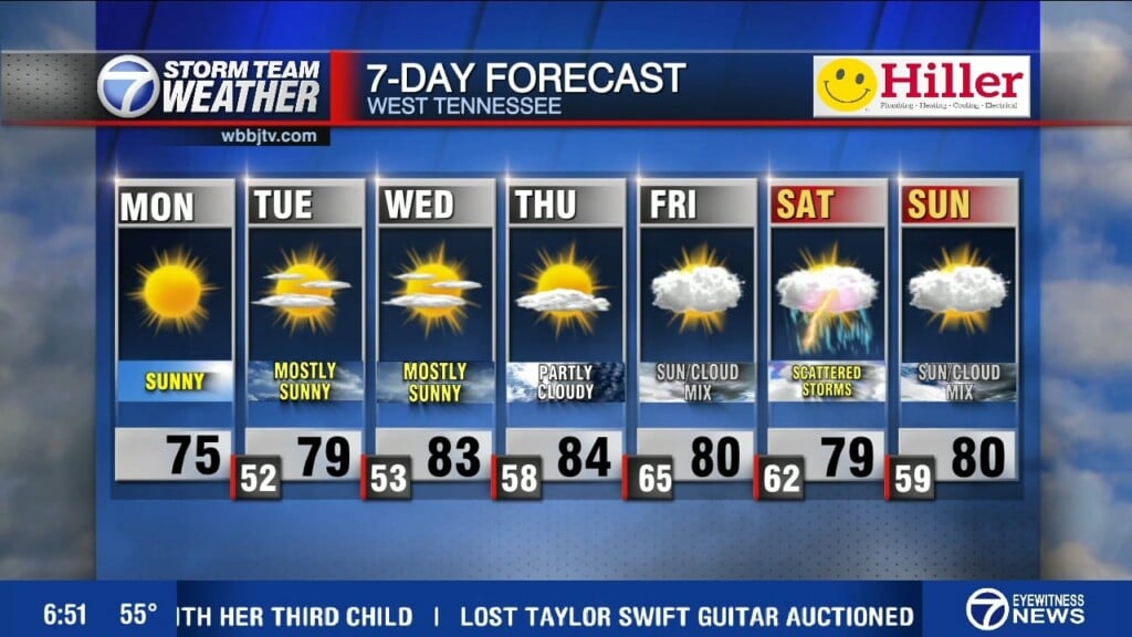
Behind Tuesday’s cold front, temperatures dropped sharply today across West Tennessee and will fall down into the mid 20s tonight. High will stay in the upper 40s for Thursday with mostly sunny skies. Rain showers will return on Friday and will linger into Saturday morning and return again on Sunday. Plenty of rain returns to the forecast next week as well, but will we be seeing any storms mixed in with the rain? We will have all the answers for you coming up here.

MONTHLY & YEARLY RAIN TOTALS UPDATE:
Tuesday was the wettest day in Jackson since August 9th. We saw 1.34″ of rain at the airport. That was about half the rain we saw during the entire month of November.

September, October and November were drier than normal and that is leading to a drought concern across the region. But there is a lot of rain the forecast it appears as we start December.

TONIGHT:
Wednesday was a chilly day behind the front with highs only reaching the mid to upper 40s. Wednesday night lows will fall down below freezing again into the mid to upper 20s overnight. It will be a cold night with a light varying breeze and mostly clear skies overnight.
THURSDAY:
Temperatures will remain chilly on Thursday with highs only climbing up to around 50°. There will be more clouds moving in towards the back half of the day so expect a mix of sun and clouds. The winds will shift to the east keeping the cooler air mass lingering over the region. Thursday night lows will stay above freezing and drop down to the mid 30s. We are not expecting any rain on Thursday.
FRIDAY:
Showers chances will return Friday afternoon and a few weak storms cannot be ruled out late in the evening into Saturday morning as the next system will move through. Highs on Friday will warm back up to the mid to upper 50s as southerly winds will return ushering in some gulf moisture and warmer weather. Skies will be mostly cloudy on Friday and Friday night will be warm with lows only dropping down into the mid 50s. Showers are expected to continue Friday night before clearing out early Saturday morning.
THE WEEKEND:
Plenty of clouds and rain showers will be sticking around during the weekend as a system will be drifting though slowly. Highs will reach up to around 60° on Saturday and will cool down on Sunday. Sunday highs will make it up to around 50°. Rain showers will stick around most of the day on Sunday. Saturday night lows will fall down to the mid 30s behind the system. The cool down will be short lived as southeast winds will return Sunday night and that will keep Monday morning temperatures in the mid 40s before warming back up nicely on Monday.
NEXT WEEK:
Clouds and rain chances will continue into next week with some storm chances possible next Tuesday as the next front will move through sometime during the day. We will be back up in the 60s for both Monday and Tuesday. The winds will come out of the south on Monday but turn to the northwest on Tuesday evening after the front passes by. Showers are expected to linger into the day on Wednesday as well but it will be cooler with highs only reaching up to around 50°.
FINAL THOUGHT:
All of West Tennessee saw our first frost and freeze in October and the latest cold spell brought record cold to the region including the coldest weather on record before November 24th to Jackson; when we fell to 14° Monday morning November 21st. There does appear to be some warmer weather on tap though as we finish the month and head into December. On top of the colder weather, we sometimes see storms develop in November and we could see more storms again later in the month. You need to stay weather aware to changing weather patterns and monitor the forecasts closely. We got you covered in the WBBJ 7 Storm Team Weather Center as always.
For tips on preparing for the storms, click here. To download the WBBJ 7 Weather app, click here.
Storm Team Chief Meteorologist
Joel Barnes
Facebook: @JoelBarnesWeather
Twitter: @JoelBarnes13
Instagram: @joelbarnes13


