Cold Front to Pass Tuesday, Tropical Rain Coming Late this Week!
WBBJ 7 Forecast Update
WBBJ 7 Forecast Update:
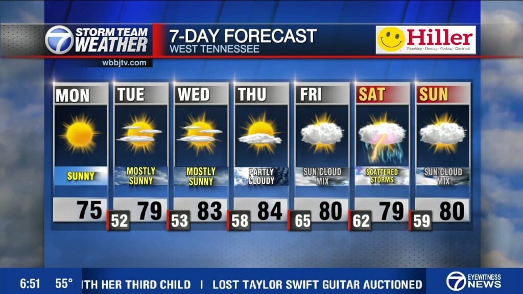
Rain is in the forecast most days this week. Showers popped Monday and a few weak storms tried to develop as a cold front gets closer. The front will come by Tuesday and that will bring the best chances for rain or storms early Tuesday. A few showers may linger into Wednesday. Tropical Depression Nine south of Cuba is forecast to become a hurricane and make landfall somewhere in West Florida on Wednesday. The storm will then track back to the northwest and stall out and dump several rounds of rain across West Tennessee through the weekend. Catch the full forecast coming up here.

THIS WEEK:
There will be a few showers and weak storms moving in tonight and again on Tuesday as a cold front will move through West Tennessee. We are not expecting severe storms but a gusty storm or two will be possible, but most of us will just encounter some scattered rain showers. We are under a level 1 (marginal risk) for severe storms tonight and again on Tuesday. A few showers could linger on Wednesday but overall Wednesday will be a mostly dry day.

Highs on Tuesday will hit the low 80s but most of the week, due to the clouds and showers, highs will only reach the mid 70s and we will likely stay that way through the weekend. Morning lows will hang in the low 60s as well for the next few days. The winds will come out of the west Tuesday, the north Wednesday, the Northeast Thursday and then vary in direction the rest of the week and weekend as the tropical system moves through the area and stalls out for a few days.

THE WEEKEND:
Tropical Depression Nine will likely become a tropical storm on Tuesday and then a hurricane on Wednesday. As of now it is forecast to make landfall as a category two storm along the big bend of Florida between Tallahassee and Tampa Bay. The storm forecast could shift some, but we are expecting the storm to turn back to the northwest as making landfall and stalling out across West Tennessee. There is a decent shot at another 3-6″ rain coming up from Thursday evening until Monday morning. We are not expecting severe weather or extreme winds locally, but heavy rain seems more likely than not as of now from the system.

The system will keep the temperatures down and keep up under the clouds all weekend long. The winds will vary in direction around the stalled out system. Two different low pressure systems will dance around the Mid South this weekend and create what is called the Fugiwhara effect. The Fujiwhara effect is a rare phenomenon that occurs when two cyclonic vortices, such as hurricanes or tornadoes, get close enough to each other to rotate around a common center point. The effect is named after Japanese meteorologist Sakuhei Fujiwhara. For us, that means we could be stuck under two stalled out low pressure systems creating similar weather for several days in a row… meaning cloudy and rainy weather for a few days.
Storm Team Chief Meteorologist
Joel Barnes
Facebook: @JoelBarnesWeather
Twitter: @JoelBarnes13
Instagram: @joelbarnes13


