Severe Storms Threat Has Been Upgraded For Today, Cooler Weather Coming for the New Year!
Saturday Morning Update
The Storms Prediction Center has upgraded the severe weather risk since last night to a moderate risk. We will have a look at the risk and the timing and details right here!

The risk has also increased over the west Tennessee area to a slight risk or 2 out of 5.

The greatest risks will be for damaging winds, heavy rainfall, but and isolated tornado can’t be ruled out, especially in the southern counties.

Travel will become difficult Saturday afternoon and especially Saturday evening as we are expecting heavy rain showers and thunderstorms to move through West Tennessee. A couple intense or severe storms as well as a solid inch of rain looks possible as a low pressure system will move right through the Mid South. Drier and cooler weather will look to move back in to kick off the new year and we will have the latest details coming up here.

TIMING:
The first storms will arrive around 2 pm in the southern counties for the afternoon.

Storms will spread northeast throughout the afternoon with most of the area getting rain by around 4 pm.

The severe risk increases with the later afternoon and early evening activity.

Notice in the 6 to 8 pm window, we see more of the individualized storms being indicated. These cells can be a little more risky for producing damaging winds or isolated tornadoes.

While the main threat is in the lower category, It is wise to stay up to date and weather aware into the afternoon and evening hours.

The dangerous part of the storms should move out of the area shortly after around 10 pm with some scattered general showers lingering into early Sunday morning. Gradual clearing will take place late morning into the Sunday afternoon with highs in the lower 60s.

THE WEEKEND:
Rain chances will increase in the afternoon, so if you have errands to run, better to do so between now and around 2 pm. Storms will start to move into the southern counties by around 2 or so and spread northward into the rest of the afternoon. Some storms will be capable of producing damaging winds, Highs around 66 with south winds 5 to 10 mph. Saturday night lows will drop down to around 50° and the storms will move out by around 10:30 with a few lingering showers into the early morning of Sunday. Sunday will be mainly a mix of clouds and sunshine with highs topping out around 60. Lows Sunday night down to around 45 with partly cloudy skies.

NEXT WEEK:
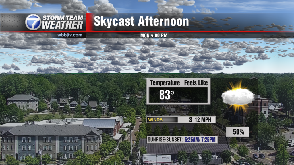
The next actual cold front to impact West Tennessee is coming by Monday night or Tuesday morning. That system looks mostly dry but a quick light shower could move through Monday night or early in the day on Tuesday. Highs on Monday will reach the mid 60s, but fall to the mid 50s on Tuesday and Mid 40s for New Year’s Day. New Year’s Eve night will drop to the mid 30s but upper 20s look likely Thursday morning. We will see some clouds on Monday but mostly sunny skies will look to return to kick off the new year. The winds will come out of the southeast on Monday, the west on Tuesday and northwest for Wednesday and Thursday. Next week looks mostly dry, but cold as of now!

Brian Davis
Storm Team 7 Meteorologist
![]()
Twitter – @Brian7wbbj
Facebook – Briandaviswbbj
Email – Badavis@wbbjtv.com