One More Round Of Severe Storms Tonight
Weather Update – 7:11 p.m. – Sunday, April 12th –
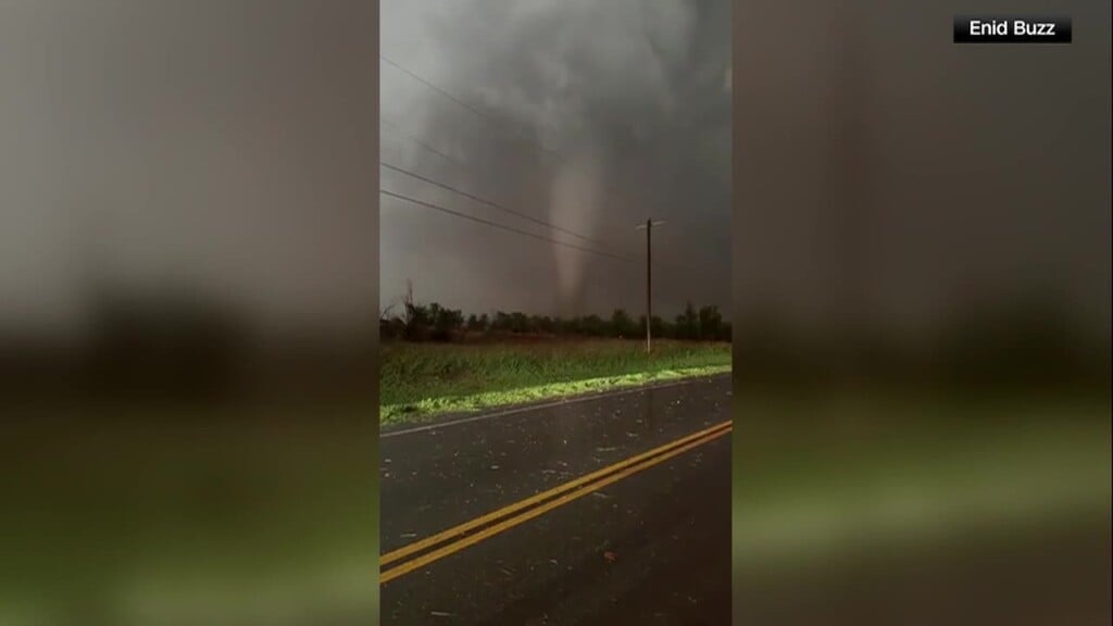
As of early this evening, West Tennessee had been seeing a break from all the active weather that was in the area this morning and afternoon. Because the warm front maintained itself further south in Mississippi, the risk for severe storms didn’t take off for us in West Tennessee. Areas under a moderate risk in central and northern Mississippi and Alabama have seen their fair share of tornado reports this afternoon.
The warm front will lift north tonight ahead of an approaching cold front. Temperatures will warm up a few more degrees during the evening briefly. Round three of severe weather for us is expected to arrive after 9 p.m. A cold front that’s trekking across Arkansas has produced several severe-warned storms. Storm risks from tonight’s event won’t be as intense as the ones expected from earlier this afternoon. Damaging winds will be the main impact, followed by large hail and a few isolated tornadoes.
The storms are expected to exit the area after midnight. The threat for damaging winds won’t be over. A tight pressure gradient behind the front could bring strong wind gusts as high as 50 mph possible. A wind advisory will stay in effect until Monday morning with scattered power outages possible.
Corallys Ortiz
Storm Team 7 Meteorologist
Twitter – @WBBJ7Corallys
Facebook – facebook.com/corallystv
Email – cortiz@wbbjtv.com


