Fantastic Weather for the First Weekend of September
Weather Update – 10:30 p.m. – Friday, September 4th
Skies are clear for now across West Tennessee now that a cold front has pushed through the WBBJ 7 Eyewitness News viewing area. We’ll be getting a beautiful weekend because of it with some of the coolest weather we’ve had since Spring in some spots!
TONIGHT
A cold front coming through West Tennessee tonight will finally return drier weather to the Mid-South for the weekend and bring our humidity to much lower levels! The overnight lows are forecast to be in the middle and upper 50s under mostly clear to partly cloudy skies.

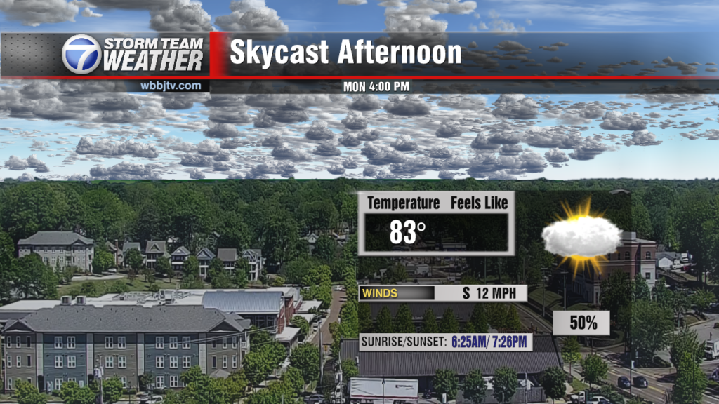
Skies will be mostly sunny on Saturday and Sunday with lower-than-usual humidity for Labor Day weekend. Temperatures will peak in the lower to middle 80s both afternoons with light winds. Temperatures Saturday night will drop to the upper 50s and lower 60s so enjoy another cool start to Sunday morning! Stay tuned to WBBJ 7 Eyewitness News for the latest forecast including a strong cold front coming next week, and for more updates keep up with Storm Team Weather online too.
Tom Meiners
Storm Team 7 Chief Meteorologist, CBM
Twitter – @WBBJ7TomMeiners
Facebook – http://facebook.com/WBBJ.tom.meiners
Email – tmeiners@wbbjtv.com