Strong Storm Threat Sunday Evening into Monday Morning
Friday Night Forecast Update
Friday Night Forecast Update for December 3rd:
After a warm and dry start to December, wet and cooler weather will be returning over the next 72 hours. A weak front will pass Saturday morning bringing a few light showers and a change in the winds cooling things down a bit. A more powerful system moves through Sunday night bringing big storms. Some severe weather in the form of gusty winds could show up by Sunday evening and stick around until sunrise on Monday. A marginal risk (1/5) has been issued 3 days out for Sunday Night into Monday morning for West Tennessee. Cooler weather will move in to start next week. Catch the full details right here.

TONIGHT:
Mostly cloudy skies and calm winds are expected tonight. It will be warm and humid with overnight lows only dropping into the upper 50s. A few light rain showers, drizzle or even a rumble of thunder will be possible tonight.
THE WEEKEND:
Clouds will increase into the weekend and rain chances will pick up as well as the next storm system and cold fronts are expected to impact our weather. Rain showers and weak storms can be expected. The severe weather threat and chances for strong storms is increasing on Sunday evening and overnight into Monday morning. We will be watching the situation closely in the Storm Team Weather Center this weekend.

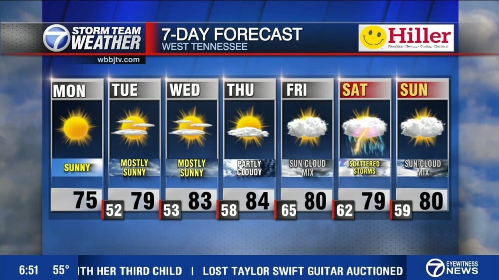
Highs on Saturday will still make it into the low to mid 60s depending on the potential timing of the system to reach us here in West Tennessee. The winds will come out of the northeast behind the early morning front on Saturday. Sunday highs will make it into the upper 60s and be warmer then Saturday due to some breezy southerly winds in the afternoon. Saturday night lows will fall down to the low 50s and we could be into the upper 30s or low 40s again by Monday morning. The best chance for rain appears to be on Sunday night but we can’t rule out a few showers on Saturday as well. Up to an inch or two of rain can be expected for some and most of us will see at least 1/2″ across West Tennessee this weekend.

MONDAY:
Cooler and more seasonable weather is expected to come back for the first Monday of December. Highs on Monday will only make it into the 40s. Lows will again fall back down near freezing overnight. Mostly sunny skies are expected and breezy northerly winds will make it feel cold all day Monday.

TUESDAY-THURSDAY:
Rain chances could return in the middle of the week but there is still no sign of snow showing up on any of the long term forecast models for the next 10 days. The best chance for rain next week will be from Tuesday night through Thursday morning. We could see some stronger storms and possibly some severe weather as the mid week system moves through but the forecast models are having a tough time determining the timing and strength of next weeks system as of Friday evening. Highs on Tuesday will be in the upper 40s, mid 50s Wednesday and low to mid 60s on Thursday. The winds will vary in speed and direction as the storm system moves through.
FINAL THOUGHT:
Not only are we beginning to crawl deeper into the fall season and just 3 weeks away from winter, we are also in our second severe weather season. So you need to stay weather aware to changing weather patterns and monitor the forecasts closely. We got you covered in the WBBJ 7 Storm Team Weather Center as always.
For tips on preparing for the storms, click here. To download the WBBJ 7 Weather app, click here.
Storm Team Chief Meteorologist
Joel Barnes
Facebook: @JoelBarnesWeather
Twitter: @JoelBarnes13
Instagram: @joelbarnes13


